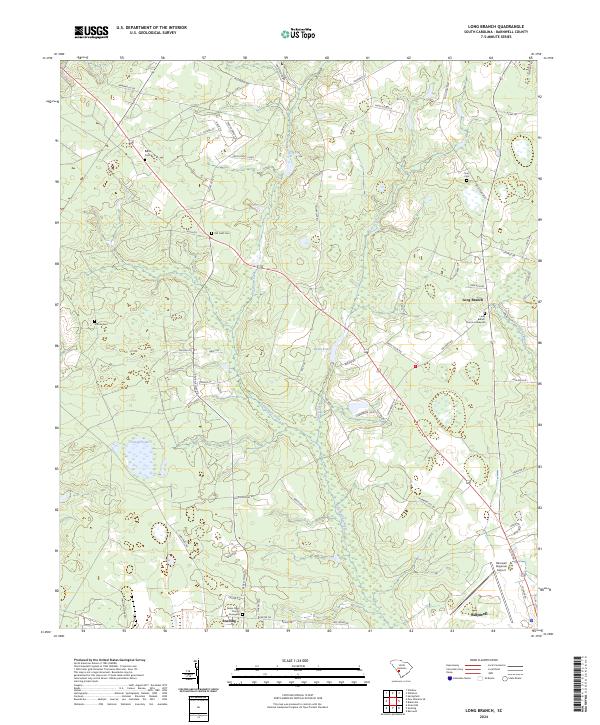
2024 Map of Long Branch
USGS Topo · Published 2024About this map
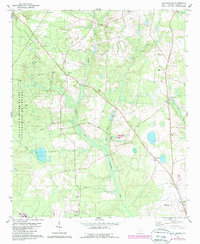
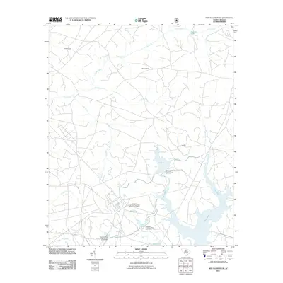
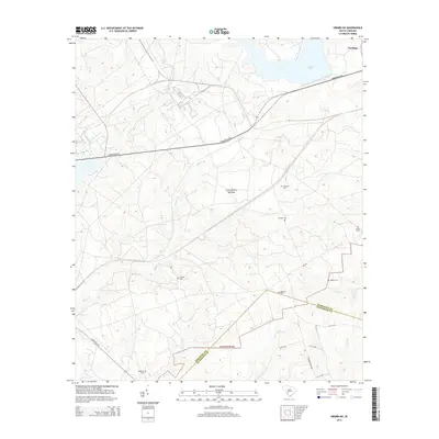
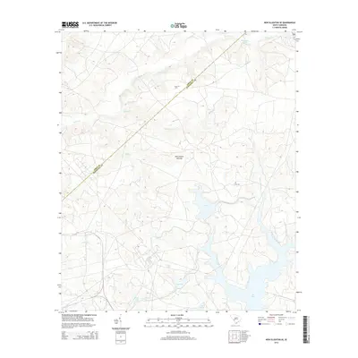
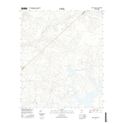
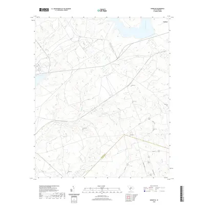
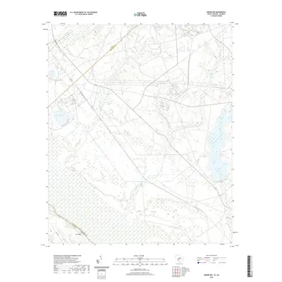
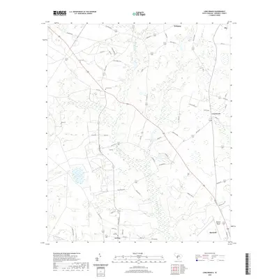
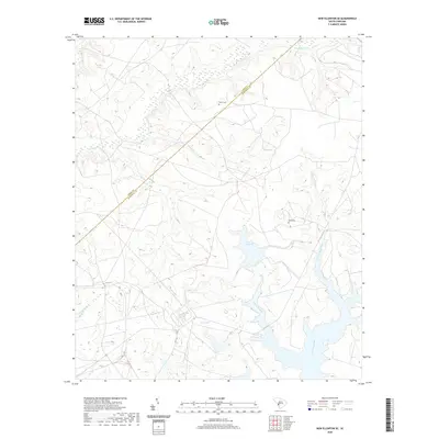
The Salkehatchie River winds through a landscape of wetlands and timber north of Barnwell, where the coastal plain terrain is defined by low-lying basins and scattered family burial grounds. This modern survey illustrates the proximity of the Barnwell Regional Airport to the rural communities of Snelling and Long Branch, reflecting the region's balance between aviation infrastructure and traditional agricultural roots. Genealogists will find significant value in the distribution of small cemeteries such as Bates Cem, Old Field Cem, and Hair Cem, which are tucked away near local tributaries like Rosemary Creek and Buck Creek. The map provides a contemporary perspective on historical land patterns, highlighting established church sites including the Long Branch Church Graveyard and Seven Pines Church Graveyard, which remain central landmarks in this corner of Barnwell County.
Find a feature on this map
67 named features on this map. Tap any name to fly to it.
Don’t see what you’re looking for? This feature index may not catch every label — zoom into the map to look around manually.
Map Details
Editions of this 2024 Long Branch Map
This is the sole edition of this map. No revisions or reprints were ever made.
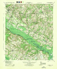
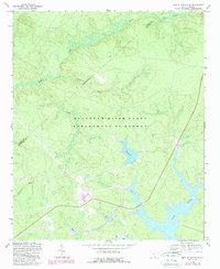
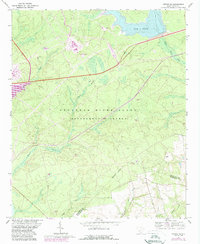
Historical Maps of Barnwell Through Time
26 maps found

1920 Ellenton
Barnwell County, SC

1921 Ellenton
Barnwell County, SC
1944 Ellenton
Barnwell County, SC
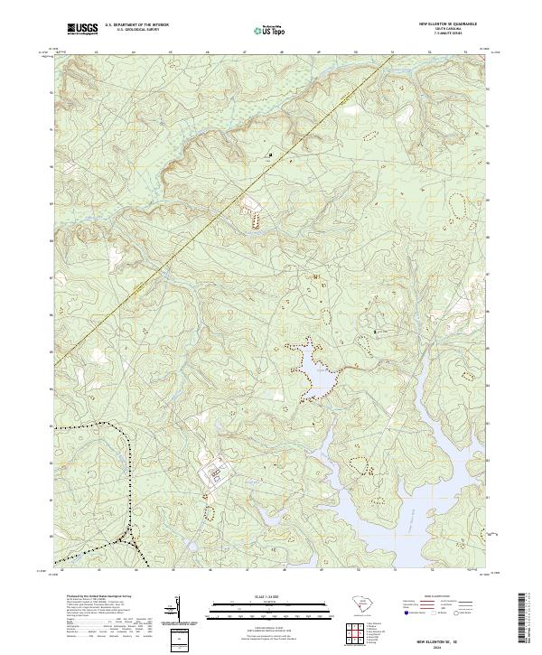
1963 New Ellenton SE
Barnwell County, SC
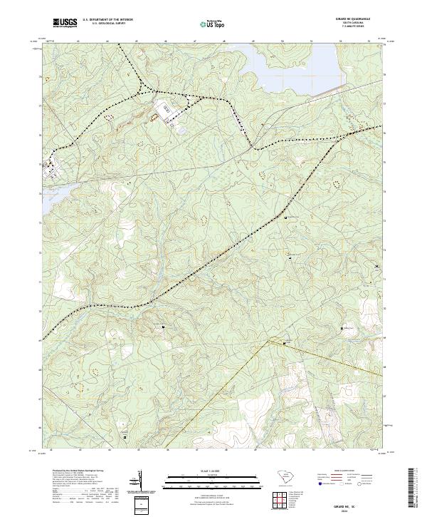
1964 Girard NE
Barnwell County, SC
1979 Long Branch
Barnwell County, SC
2011 Girard NE
Barnwell County, SC
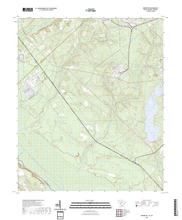
2011 Girard NW
Barnwell County, SC
2011 Long Branch
Barnwell County, SC
2011 New Ellenton SE
Barnwell County, SC
2014 Girard NE
Barnwell County, SC
2014 Girard NW
Barnwell County, SC
2014 Long Branch
Barnwell County, SC
2014 New Ellenton SE
Barnwell County, SC
2017 Girard NE
Barnwell County, SC
2017 Girard NW
Barnwell County, SC
2017 Long Branch
Barnwell County, SC
2017 New Ellenton SE
Barnwell County, SC
2020 Girard NE
Barnwell County, SC
2020 Girard NW
Barnwell County, SC
2020 Long Branch
Barnwell County, SC
2020 New Ellenton SE
Barnwell County, SC
2024 Girard NE
Barnwell County, SC
2024 Girard NW
Barnwell County, SC
2024 Long Branch
Barnwell County, SC
2024 New Ellenton SE
Barnwell County, SC