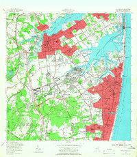
1954 Map of Long Branch
USGS Topo · Published 1966About this map
Fort Monmouth and the U.S. Army Signal Corps Training Area dominate the central landscape of this mid-century survey, illustrating the significant military presence in Monmouth County during the Cold War. To the north, the Navesink River and Shrewsbury River define the coast, where established communities like Red Bank, Fair Haven, and Rumson meet the water. The map documents a period of rapid suburbanization and infrastructure growth, featuring the newly constructed Garden State Parkway cutting through Lincroft and New Shrewsbury. Along the coast, the barrier beach communities of Sea Bright and Monmouth Beach are shown in detail, including the Coast Guard Station and the rail corridor of the New York and Long Branch RR. Inland, older rural traces like Cooks Mills and the Hockhockson Swamp contrast with rising developments such as Oakhurst Manor and Deal Park.
Find a feature on this map
137 named features on this map. Tap any name to fly to it.
Don’t see what you’re looking for? This feature index may not catch every label — zoom into the map to look around manually.
Map Details
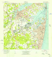
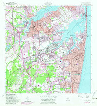
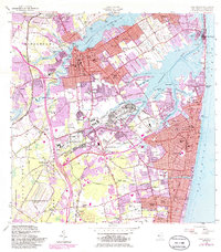
Editions of this 1954 Long Branch Map
5 editions found

Other maps of this area

1888 · Asbury Park
USGS Topo · 1:62,500

1888 · Sandy Hook
USGS Topo · 1:62,500

1893 · Sandy Hook
USGS Topo · 1:62,500

1893 · Asbury Park
USGS Topo · 1:62,500

1901 · Sandy Hook
USGS Topo · 1:62,500

1901 · Asbury Park
USGS Topo · 1:62,500

1902 · Navesink
USGS Topo · 1:125,000

1918 · Sandy Hook
USGS Topo · 1:62,500

1919 · Asbury Park
USGS Topo · 1:62,500

1942 · Farmingdale
USGS Topo · 1:24,000