
1954 Map of Long Branch
USGS Topo · Published 1972About this map
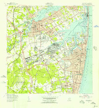
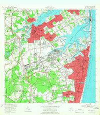
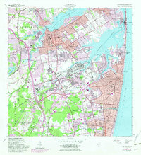
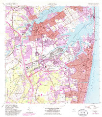
The Navesink River and Shrewsbury River define the intricate waterfront of this Monmouth County coast, where mid-century urban expansion begins to press into established estates and military grounds. The map captures a high-density corridor stretching from the commercial hub of Red Bank down through the residential neighborhoods of West End and Elberon. Significant federal footprints are visible at Fort Monmouth and Camp Charles Wood, reflecting the area's strategic importance during and after the war years.
Find a feature on this map
117 named features on this map. Tap any name to fly to it.
Don’t see what you’re looking for? This feature index may not catch every label — zoom into the map to look around manually.
Map Details
Editions of this 1954 Long Branch Map
5 editions found
Other maps of this area

1888 · Asbury Park
USGS Topo · 1:62,500

1888 · Sandy Hook
USGS Topo · 1:62,500

1893 · Sandy Hook
USGS Topo · 1:62,500

1893 · Asbury Park
USGS Topo · 1:62,500

1901 · Sandy Hook
USGS Topo · 1:62,500

1901 · Asbury Park
USGS Topo · 1:62,500

1902 · Navesink
USGS Topo · 1:125,000

1918 · Sandy Hook
USGS Topo · 1:62,500

1919 · Asbury Park
USGS Topo · 1:62,500

1942 · Farmingdale
USGS Topo · 1:24,000