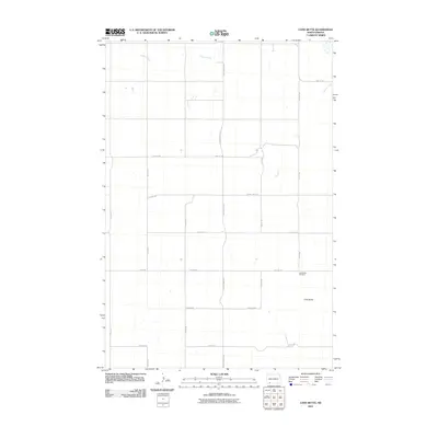
2011 Map of Long Butte
USGS Topo · Published 2011About this map
Long Butte rises as the primary topographic landmark in this section of Hettinger County, marking a landscape defined by organized section lines and rural transit. The 2011 survey by the U.S. Geological Survey details a sparse settlement pattern dominated by agricultural access roads and a few key watercourses, most notably Timber Creek which winds through the northern reaches of the quadrangle. A significant point of interest for local historians is the Long Butte Cemetery, located near the intersection of 12th Ave NE and 19th St NE. The road network, including County Hwy-2129 and County Hwy-2128, illustrates the grid-based development typical of the North Dakota plains, where transit is dictated by section boundaries and the local geography of the buttes.
Find a feature on this map
19 named features on this map. Tap any name to fly to it.
Don’t see what you’re looking for? This feature index may not catch every label — zoom into the map to look around manually.
Map Details
Editions of this 2011 Long Butte Map
This is the sole edition of this map. No revisions or reprints were ever made.
Other maps of this area

1953 · Dickinson
USGS Topo · 1:250,000

1957 · Dickinson
USGS Topo · 1:250,000

1966 · Mott South
USGS Topo · 1:24,000

1966 · Mott SW
USGS Topo · 1:24,000

1969 · Burt
USGS Topo · 1:24,000

1974 · Pearl Butte NW
USGS Topo · 1:24,000

1974 · Cedar Butte
USGS Topo · 1:24,000

1974 · Long Butte
USGS Topo · 1:24,000

1980 · Mott
USGS Topo · 1:100,000
2011 · Barths Butte
USGS Topo · 1:24,000