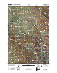
2011 Map of Long Creek
USGS Topo · Published 2011About this map
Long Creek serves as the central hub of this Grant County landscape, situated where several historic transportation routes and watercourses converge. The community is anchored by the Long Creek Post Office and nearby Long Creek Cemetery, which offer valuable points of interest for genealogists and local historians. To the north, Coles Bridge crosses the namesake waterway, while the town's infrastructure is supported by the Long Creek Reservoir and the extensive Long Creek Municipal Watershed.
Find a feature on this map
33 named features on this map. Tap any name to fly to it.
Don’t see what you’re looking for? This feature index may not catch every label — zoom into the map to look around manually.
Map Details
Editions of this 2011 Long Creek Map
This is the sole edition of this map. No revisions or reprints were ever made.
Other maps of this area

1949 · Long Creek
USGS Topo · 1:62,500

1949 · Susanville
USGS Topo · 1:62,500

1950 · Ritter
USGS Topo · 1:62,500

1951 · Susanville
USGS Topo · 1:62,500

1951 · Long Creek
USGS Topo · 1:62,500

1951 · Dale
USGS Topo · 1:62,500

1952 · Ritter
USGS Topo · 1:62,500

1955 · Canyon City
USGS Topo · 1:250,000

1959 · Canyon City
USGS Topo · 1:250,000

1980 · Monument
USGS Topo · 1:100,000