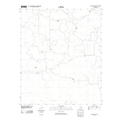
2010 Map of Long Hollow
USGS Topo · Published 2010About this map
Long Hollow and the surrounding Palo Pinto County landscape are defined by a network of ranch roads and intermittent creek beds in this early 21st-century survey. The terrain is marked by notable elevations such as Deck Mountain, while the drainage system of Board Timber Creek, Dillingham Creek, and the various branches of Salt Creek dictate the local geography. Human activity is largely centered on ranching and private aviation, evidenced by the presence of Halsell Ranch Rd and the Flamingo Airfield.
Find a feature on this map
26 named features on this map. Tap any name to fly to it.
Don’t see what you’re looking for? This feature index may not catch every label — zoom into the map to look around manually.
Map Details
Editions of this 2010 Long Hollow Map
This is the sole edition of this map. No revisions or reprints were ever made.
Other maps of this area

1891 · Palo Pinto
USGS Topo · 1:125,000

1918 · Palo Pinto
USGS Topo · 1:125,000

1924 · Palo Pinto 2-b
USGS Topo · 1:48,000

1924 · Palo Pinto 2-a
USGS Topo · 1:48,000

1924 · Palo Pinto 1-b
USGS Topo · 1:48,000

1927 · Pickwick
USGS Topo · 1:62,500

1927 · Mineral Wells
USGS Topo · 1:62,500

1954 · Abilene
USGS Topo · 1:250,000

1954 · Wichita Falls
USGS Topo · 1:250,000

1958 · Wichita Falls
USGS Topo · 1:250,000