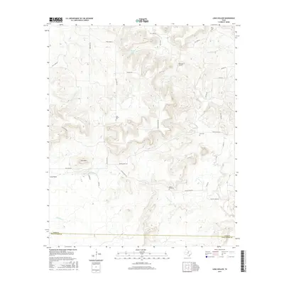
2016 Map of Long Hollow
USGS Topo · Published 2016About this map
The boundary between Jack County and Palo Pinto County divides this north-central Texas landscape, characterized by the winding watershed of Salt Creek and its many tributaries. The area near Long Hollow remains anchored by multi-generational family landmarks and rural infrastructure. A series of burial grounds, including the Salt Creek Cem, Long Hollow Cem, and Wood Cem, are scattered across the terrain, serving as vital touchstones for local genealogical research.
Find a feature on this map
33 named features on this map. Tap any name to fly to it.
Don’t see what you’re looking for? This feature index may not catch every label — zoom into the map to look around manually.
Map Details
Editions of this 2016 Long Hollow Map
This is the sole edition of this map. No revisions or reprints were ever made.
Other maps of this area

1891 · Palo Pinto
USGS Topo · 1:125,000

1918 · Palo Pinto
USGS Topo · 1:125,000

1924 · Palo Pinto 2-b
USGS Topo · 1:48,000

1924 · Palo Pinto 2-a
USGS Topo · 1:48,000

1924 · Palo Pinto 1-b
USGS Topo · 1:48,000

1927 · Pickwick
USGS Topo · 1:62,500

1927 · Mineral Wells
USGS Topo · 1:62,500

1954 · Abilene
USGS Topo · 1:250,000

1954 · Wichita Falls
USGS Topo · 1:250,000

1958 · Wichita Falls
USGS Topo · 1:250,000