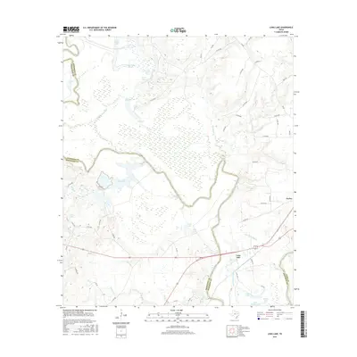
2016 Map of Long Lake
USGS Topo · Published 2016About this map
The Trinity River snakes through the bottomlands of the Anderson, Freestone, and Leon county lines, creating a landscape defined by its complex hydrology and alluvial deposits. This 2016 survey highlights a series of oxbows and perennial water bodies, including the expansive Big Lake and Blue Lake, which speak to the river's historical shifts across the valley floor. Small settlements like Tucker and Long Lake anchor the eastern side of the quadrangle, while Lake Port sits near the river's western banks.
Find a feature on this map
60 named features on this map. Tap any name to fly to it.
Don’t see what you’re looking for? This feature index may not catch every label — zoom into the map to look around manually.
Map Details
Editions of this 2016 Long Lake Map
This is the sole edition of this map. No revisions or reprints were ever made.
Other maps of this area

1949 · Palestine
USGS Topo · 1:62,500

1949 · Tennessee Colony
USGS Topo · 1:62,500

1950 · Palestine
USGS Topo · 1:62,500

1950 · Tennessee Colony
USGS Topo · 1:62,500

1951 · Elkhart
USGS Topo · 1:62,500

1953 · Palestine
USGS Topo · 1:250,000

1957 · Palestine
USGS Topo · 1:250,000

1964 · Long Lake
USGS Topo · 1:24,000

1964 · Oakwood
USGS Topo · 1:24,000

1964 · Keechi
USGS Topo · 1:24,000