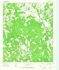
1964 Map of Oakwood
USGS Topo · Published 1967About this map
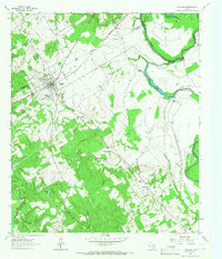
Oakwood serves as the primary hub on this mid-1960s survey, situated along the Missouri Pacific railroad line where it intersects State Highways 79 and 542. The town's community structure is anchored by Dunbar High Sch and a series of surrounding rural enclaves. The landscape transitions from the developed grid of the town center to the dense creek bottoms of the Trinity River, which marks the boundary between Freestone, Leon, and Anderson counties.
Find a feature on this map
34 named features on this map. Tap any name to fly to it.
Don’t see what you’re looking for? This feature index may not catch every label — zoom into the map to look around manually.
Map Details
Editions of this 1964 Oakwood Map
This is the sole edition of this map. No revisions or reprints were ever made.
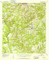
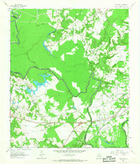
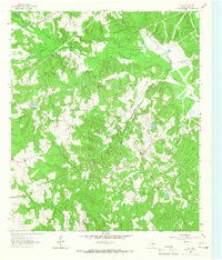
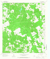
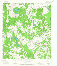
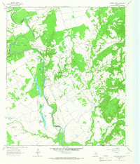
Other maps of this area
1951 · Elkhart
USGS Topo · 1:62,500

1953 · Palestine
USGS Topo · 1:250,000

1957 · Palestine
USGS Topo · 1:250,000
1964 · Long Lake
USGS Topo · 1:24,000
1964 · Flo
USGS Topo · 1:24,000
1964 · Keechi
USGS Topo · 1:24,000
1964 · Lake Leon
USGS Topo · 1:24,000
1964 · Butler
USGS Topo · 1:24,000
1964 · Stanmire Lake
USGS Topo · 1:24,000

1981 · Palestine
USGS Topo · 1:100,000