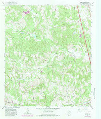
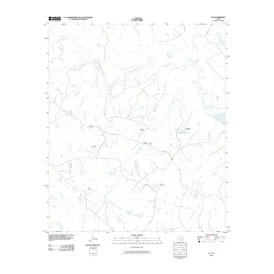
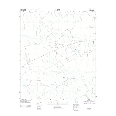
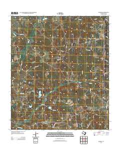
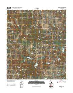
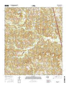
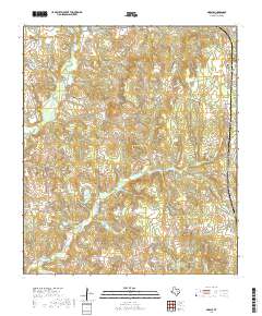
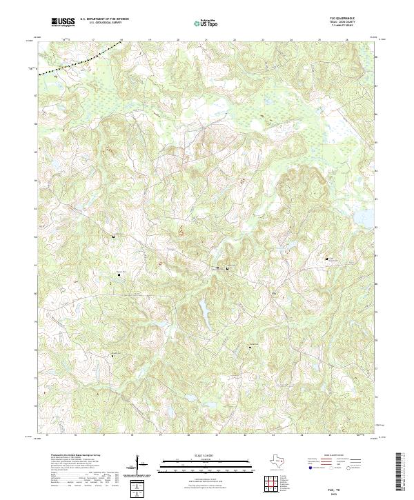
1964 Map of Flo
USGS Topo · Published 1967About this map
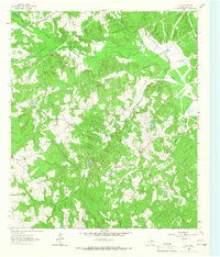
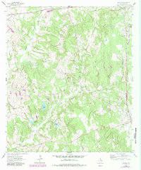
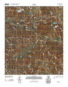
The Buffalo Oil Field dominates this 1960s landscape in Leon County, showing the intersection of industrial extraction and rural East Texas life. The map centers on the small settlement of Flo, where the local road network converges near Lone Star High Sch. Numerous family-named landmarks provide significant value for genealogists, including Lummis Cem, Wheelock Cem, and Parker Cem, along with the Brushy Ch.
Find a feature on this map
20 named features on this map. Tap any name to fly to it.
Don’t see what you’re looking for? This feature index may not catch every label — zoom into the map to look around manually.
Map Details
Editions of this 1964 Flo Map
This is the sole edition of this map. No revisions or reprints were ever made.
Historical Maps of Flo Through Time
60 maps found
1964 Eunice
Leon County, TX
1964 Flo
Leon County, TX
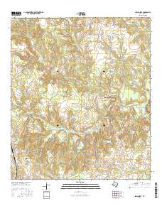
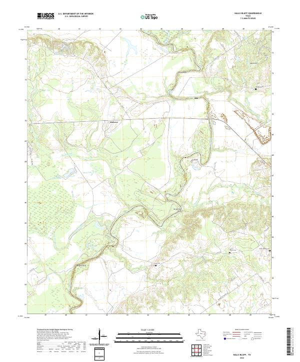
1964 Halls Bluff
Leon County, TX
1964 Lake Leon
Leon County, TX
1964 Margie
Leon County, TX
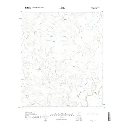
1964 Middleton
Leon County, TX
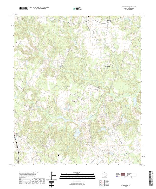
1964 Spring Seat
Leon County, TX
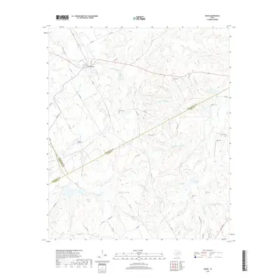
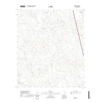
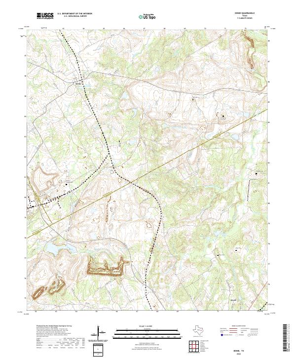
1965 Donie
Leon County, TX
1965 Robbins
Leon County, TX
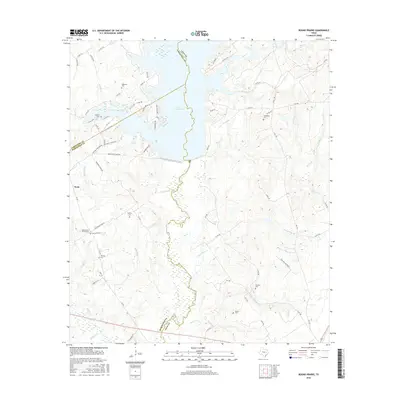
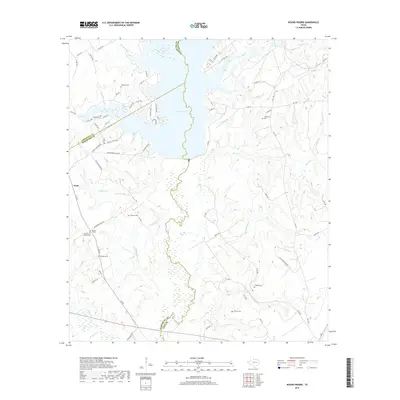
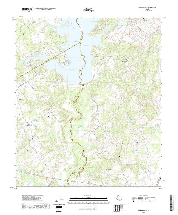
1966 Round Prairie
Leon County, TX
2010 Donie
Leon County, TX
2010 Eunice
Leon County, TX
2010 Flo
Leon County, TX
2010 Halls Bluff
Leon County, TX
2010 Lake Leon
Leon County, TX
2010 Margie
Leon County, TX

2010 Middleton
Leon County, TX
2010 Robbins
Leon County, TX
2010 Spring Seat
Leon County, TX
2011 Round Prairie
Leon County, TX
2013 Donie
Leon County, TX
2013 Eunice
Leon County, TX
2013 Flo
Leon County, TX
2013 Halls Bluff
Leon County, TX
2013 Lake Leon
Leon County, TX
2013 Margie
Leon County, TX
2013 Middleton
Leon County, TX
2013 Robbins
Leon County, TX
2013 Round Prairie
Leon County, TX
2013 Spring Seat
Leon County, TX
2016 Donie
Leon County, TX
2016 Eunice
Leon County, TX
2016 Flo
Leon County, TX
2016 Halls Bluff
Leon County, TX
2016 Lake Leon
Leon County, TX
2016 Margie
Leon County, TX
2016 Middleton
Leon County, TX
2016 Robbins
Leon County, TX
2016 Round Prairie
Leon County, TX
2016 Spring Seat
Leon County, TX
2019 Donie
Leon County, TX
2019 Eunice
Leon County, TX
2019 Flo
Leon County, TX
2019 Halls Bluff
Leon County, TX
2019 Lake Leon
Leon County, TX
2019 Margie
Leon County, TX
2019 Middleton
Leon County, TX
2019 Robbins
Leon County, TX
2019 Round Prairie
Leon County, TX
2019 Spring Seat
Leon County, TX
2022 Donie
Leon County, TX

2022 Eunice
Leon County, TX
2022 Flo
Leon County, TX
2022 Halls Bluff
Leon County, TX
2022 Lake Leon
Leon County, TX
2022 Margie
Leon County, TX
2022 Middleton
Leon County, TX
2022 Robbins
Leon County, TX
2022 Round Prairie
Leon County, TX
2022 Spring Seat
Leon County, TX