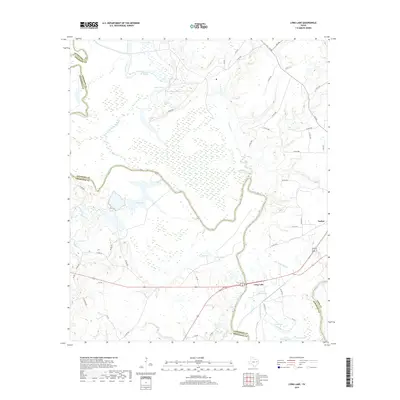
2019 Map of Long Lake
USGS Topo · Published 2019About this map
The Trinity River snakes through this low-lying region of East Texas, forming the natural boundary between Anderson, Freestone, and Leon Counties. This landscape is defined by its complex network of seasonal wetlands and oxbow formations, most notably Long Lake and the smaller Little Lake, which sit just north of the junction of several rural roadways. The small settlement of Tucker is situated to the northeast, while Lake Port lies further west along the river bends.
Find a feature on this map
58 named features on this map. Tap any name to fly to it.
Don’t see what you’re looking for? This feature index may not catch every label — zoom into the map to look around manually.
Map Details
Editions of this 2019 Long Lake Map
This is the sole edition of this map. No revisions or reprints were ever made.
Other maps of this area

1949 · Palestine
USGS Topo · 1:62,500

1949 · Tennessee Colony
USGS Topo · 1:62,500

1950 · Palestine
USGS Topo · 1:62,500

1950 · Tennessee Colony
USGS Topo · 1:62,500

1951 · Elkhart
USGS Topo · 1:62,500

1953 · Palestine
USGS Topo · 1:250,000

1957 · Palestine
USGS Topo · 1:250,000

1964 · Long Lake
USGS Topo · 1:24,000

1964 · Oakwood
USGS Topo · 1:24,000

1964 · Keechi
USGS Topo · 1:24,000