Loading...
Loading map...1939 Map of Long Lake
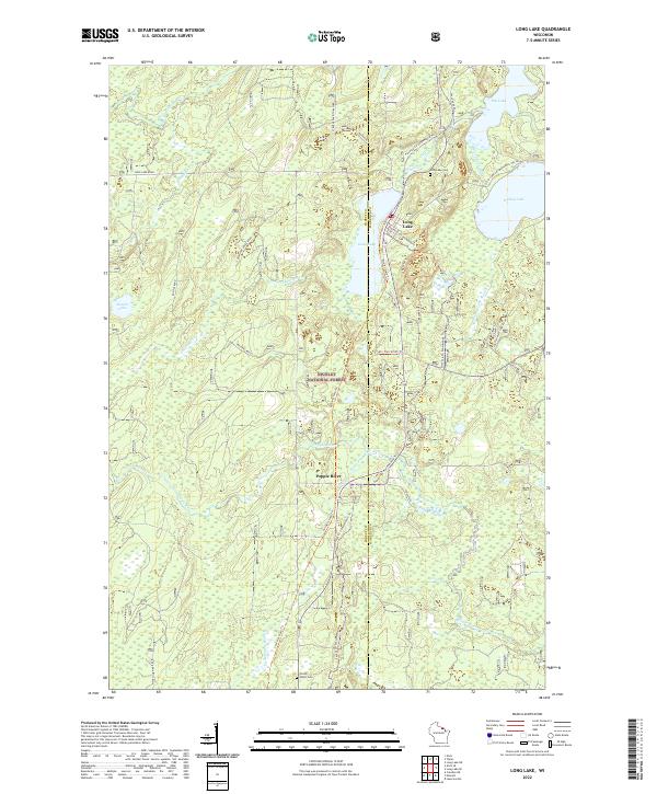
USGS Topo · Published 1964About this map
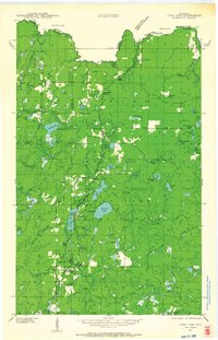
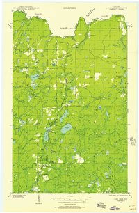
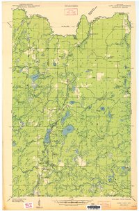
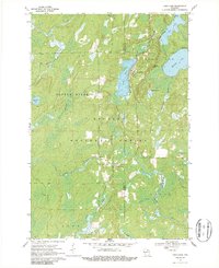
Logging industry infrastructure and remote lakeside settlements define this 1939 survey of northeastern Wisconsin. The Chicago and Northwestern railroad is the central artery of the landscape, supporting numerous timber-related outposts such as Dahls Siding, Lindels Spur, and Moore & Montambo Spur. These spurs and sidings highlight the industrial character of the Nicolet National Forest during the late Depression era, where the Long Lake CCC Camp was active in reforestation and conservation efforts.
Find a feature on this map
75 named features on this map. Tap any name to fly to it.
Don’t see what you’re looking for? This feature index may not catch every label — zoom into the map to look around manually.
Map Details
Date Portrayed1939
Date Published1964
PublisherU.S. Geological Survey
Map TypeTopographic
Scale1:48,000
Physical Dimensions18.75 x 29.17 inches
Editions of this 1939 Long Lake Map
2 editions found
Historical Maps of Florence Through Time
4 maps found
Featured Locations
Source Details
SourceU.S. Geological Survey
CopyrightPublic Domain