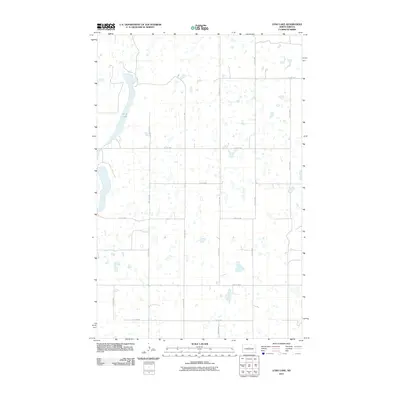
2011 Map of Long Lake
USGS Topo · Published 2011About this map
Long Lake dominates the western portion of this McLean County landscape, surrounded by the characteristic prairie potholes of central North Dakota. The area is defined by a rigid section-line grid of rural roads, including County Hwy 27 and a network of gravel routes such as 12th Ave NW and 22nd St NW. These thoroughfares serve the agricultural operations and remote farmsteads that dot the plains. The map reveals the hydrology of the region, where numerous small, unnamed sloughs and seasonal wetlands are scattered across the terrain east of the primary lake basin. This 2011 survey captures the area's rural character, showing the intersections of local life along routes like 15th St NW and 11th Ave NW in a period of modern land management and continued agricultural reliance.
Find a feature on this map
16 named features on this map. Tap any name to fly to it.
Don’t see what you’re looking for? This feature index may not catch every label — zoom into the map to look around manually.
Map Details
Editions of this 2011 Long Lake Map
This is the sole edition of this map. No revisions or reprints were ever made.
Other maps of this area

1929 · Kongsberg
USGS Topo · 1:62,500

1929 · Balfour
USGS Topo · 1:62,500

1945 · Pelican Lake
USGS Topo · 1:62,500

1947 · Pelican Lake
USGS Topo · 1:62,500

1947 · Turtle Lake
USGS Topo · 1:62,500

1954 · McClusky
USGS Topo · 1:250,000

1958 · McClusky
USGS Topo · 1:250,000

1958 · Butte
USGS Topo · 1:24,000

1958 · Balfour
USGS Topo · 1:62,500

1961 · Turtle Lake
USGS Topo · 1:24,000