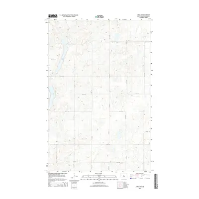
2014 Map of Long Lake
USGS Topo · Published 2014About this map
Long Lake and Crooked Lake dominate the western edge of this McLean County terrain, reflecting the glaciated topography of the Missouri Plateau. In this early twenty-first-century survey, the landscape is defined by a rigorous sectional grid of gravel roads including 22nd St NW, 16th St NW, and 14th Ave Nw. This geometric organization highlights the enduring influence of the Public Land Survey System on the North Dakota prairie, where transportation routes follow section lines regardless of the underlying hills and potholes. The absence of concentrated town sites emphasizes the area's rural character, oriented toward agriculture and the natural wetland complexes that dot the region between the Missouri River and the James River headwaters.
Find a feature on this map
18 named features on this map. Tap any name to fly to it.
Don’t see what you’re looking for? This feature index may not catch every label — zoom into the map to look around manually.
Map Details
Editions of this 2014 Long Lake Map
This is the sole edition of this map. No revisions or reprints were ever made.
Other maps of this area

1929 · Kongsberg
USGS Topo · 1:62,500

1929 · Balfour
USGS Topo · 1:62,500

1945 · Pelican Lake
USGS Topo · 1:62,500

1947 · Pelican Lake
USGS Topo · 1:62,500

1947 · Turtle Lake
USGS Topo · 1:62,500

1954 · McClusky
USGS Topo · 1:250,000

1958 · McClusky
USGS Topo · 1:250,000

1958 · Butte
USGS Topo · 1:24,000

1958 · Balfour
USGS Topo · 1:62,500

1961 · Turtle Lake
USGS Topo · 1:24,000