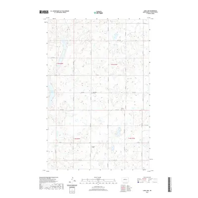
2020 Map of Long Lake
USGS Topo · Published 2020About this map
Glacial potholes and prairie wetlands define the landscape of McLean County in this modern topographic study. The area is characterized by a dense network of water bodies, including the prominent Long Lake and Crooked Lake, which are surrounded by numerous unnamed wetlands and depressions typical of the North Dakota plains. Human settlement is sparse, marked primarily by a grid of county roads and section lines such as Co Hwy 6 and Co Rd 27. Cultural markers for genealogists include East Crooked Lake Cem and Saint Johns Cem, providing specific points of historical interest in an otherwise agricultural expanse. Transportation in the region is aided by the Cloud 9 Airport, reflecting the continued importance of aviation in reaching these remote rural townships.
Find a feature on this map
29 named features on this map. Tap any name to fly to it.
Don’t see what you’re looking for? This feature index may not catch every label — zoom into the map to look around manually.
Map Details
Editions of this 2020 Long Lake Map
This is the sole edition of this map. No revisions or reprints were ever made.
Other maps of this area

1929 · Kongsberg
USGS Topo · 1:62,500

1929 · Balfour
USGS Topo · 1:62,500

1945 · Pelican Lake
USGS Topo · 1:62,500

1947 · Pelican Lake
USGS Topo · 1:62,500

1947 · Turtle Lake
USGS Topo · 1:62,500

1954 · McClusky
USGS Topo · 1:250,000

1958 · McClusky
USGS Topo · 1:250,000

1958 · Butte
USGS Topo · 1:24,000

1958 · Balfour
USGS Topo · 1:62,500

1961 · Turtle Lake
USGS Topo · 1:24,000