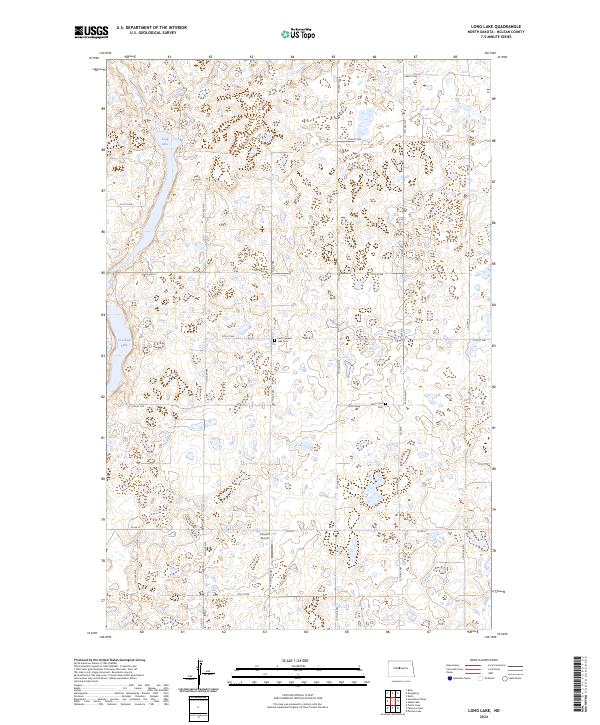
2024 Map of Long Lake
USGS Topo · Published 2024About this map
Camp Lake National Wildlife Refuge and the McLean County Waterfowl Production Area define this high-plains landscape in McLean County. The terrain is a complex mosaic of prairie potholes and small water bodies, anchored by the larger expanses of Long Lake and Crooked Lake. This rural environment is crisscrossed by a systematic grid of township roads and county highways, including Co Hwy 6 and Co Rd 27, which provide access to isolated family homesteads and agricultural tracts.
Find a feature on this map
22 named features on this map. Tap any name to fly to it.
Don’t see what you’re looking for? This feature index may not catch every label — zoom into the map to look around manually.
Map Details
Editions of this 2024 Long Lake Map
This is the sole edition of this map. No revisions or reprints were ever made.
Other maps of this area

1929 · Kongsberg
USGS Topo · 1:62,500

1929 · Balfour
USGS Topo · 1:62,500

1945 · Pelican Lake
USGS Topo · 1:62,500

1947 · Pelican Lake
USGS Topo · 1:62,500

1947 · Turtle Lake
USGS Topo · 1:62,500

1954 · McClusky
USGS Topo · 1:250,000

1958 · McClusky
USGS Topo · 1:250,000

1958 · Butte
USGS Topo · 1:24,000

1958 · Balfour
USGS Topo · 1:62,500

1961 · Turtle Lake
USGS Topo · 1:24,000