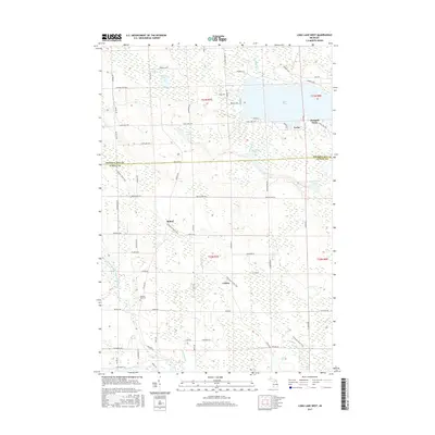
2017 Map of Long Lake West
USGS Topo · Published 2017About this map
Bolton and Cathro anchor the rural landscape of southern Presque Isle County and northern Alpena County, situated along the diagonal path of the N Eastern State Trail. This corridor, which parallels many modern roads like Krakow Hwy, defines the local transportation history of the region. To the north, the western shoreline of Long Lake features the prominent Orchard Point and the small settlement of Leroy, while numerous smaller bodies of water such as Trapp Lake, Clinton Lake, and Minduck Lake dot the wetlands.
Find a feature on this map
72 named features on this map. Tap any name to fly to it.
Don’t see what you’re looking for? This feature index may not catch every label — zoom into the map to look around manually.
Map Details
Editions of this 2017 Long Lake West Map
This is the sole edition of this map. No revisions or reprints were ever made.
Other maps of this area

1954 · Alpena
USGS Topo · 1:250,000

1957 · Alpena
USGS Topo · 1:250,000

1958 · Alpena
USGS Topo · 1:250,000

1969 · Alpena
USGS Topo · 1:250,000

1971 · Lake Winyah
USGS Topo · 1:24,000
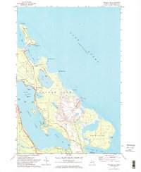
1971 · Presque Isle
USGS Topo · 1:24,000

1971 · Long Lake West
USGS Topo · 1:24,000

1971 · Alpena
USGS Topo · 1:24,000

1971 · Polaski
USGS Topo · 1:24,000
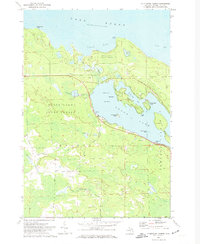
1971 · Thompsons Harbor
USGS Topo · 1:24,000