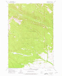
1962 Map of Long Peak
USGS Topo · Published 1975About this map
Beaverhead National Forest dominates this high-elevation landscape, where the Anaconda Range peaks divide complex drainage systems. The survey details a rugged watershed defined by the various branches of Middle Fork La Marche Creek, West Fork La Marche Creek, and East Fork La Marche Creek in the north. To the south, the terrain descends toward Thompson Gulch and Camp Hollow, where the early agricultural footprint of the area is visible through named irrigation works like Anderson Ditch and Paddock Ditch.
Find a feature on this map
18 named features on this map. Tap any name to fly to it.
Don’t see what you’re looking for? This feature index may not catch every label — zoom into the map to look around manually.
Map Details
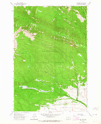
Editions of this 1962 Long Peak Map
2 editions found
Other maps of this area

1908 · Philipsburg
USGS Topo · 1:125,000

1947 · Butte
USGS Topo · 1:250,000

1955 · Dillon
USGS Topo · 1:250,000

1957 · Dillon
USGS Topo · 1:250,000

1958 · Butte
USGS Topo · 1:250,000

1958 · Dillon
USGS Topo · 1:250,000

1960 · Butte
USGS Topo · 1:250,000

1962 · Butte
USGS Topo · 1:250,000

1962 · Dillon
USGS Topo · 1:250,000

1962 · Lower Seymour Lake
USGS Topo · 1:24,000