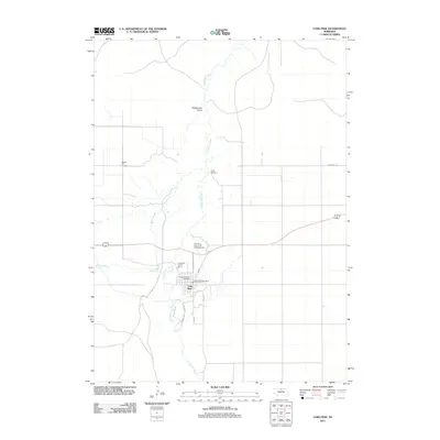
2011 Map of Long Pine
USGS Topo · Published 2011About this map
Long Pine serves as the focal point of this 2011 survey, situated along the winding course of Long Pine Creek in Brown County. The landscape is defined by the transition from the cultivated expanses of Buffalo Flat to the north and the topographic breaks of Rattlesnake Gulch. Community life and local services are anchored by the Long Pine Post Office and the Buffalo Flat Church, while the area's role as a recreational destination is evident through several sites. Outdoor and community gathering spaces like Camp Witness, the Long Pine Tourist Park, and the Pine Valley Resort and Campgrounds suggest a region shaped by both agriculture and seasonal visitors. Distinctive local landmarks, including the Pine View Drive-In Theater and the stretch of Willow Creek, provide a detailed look at the rural infrastructure and land use patterns that characterize this part of northern Nebraska.
Find a feature on this map
17 named features on this map. Tap any name to fly to it.
Don’t see what you’re looking for? This feature index may not catch every label — zoom into the map to look around manually.
Map Details
Editions of this 2011 Long Pine Map
This is the sole edition of this map. No revisions or reprints were ever made.
Other maps of this area

1949 · Dutch Creek
USGS Topo · 1:24,000

1949 · Riverview
USGS Topo · 1:24,000

1950 · Bassett NW
USGS Topo · 1:24,000

1950 · Riverview
USGS Topo · 1:24,000

1950 · Dutch Creek
USGS Topo · 1:24,000

1954 · Ainsworth
USGS Topo · 1:24,000

1954 · Long Pine
USGS Topo · 1:24,000

1954 · Bassett
USGS Topo · 1:24,000

1955 · O'Neill
USGS Topo · 1:250,000

1959 · O'Neill
USGS Topo · 1:250,000