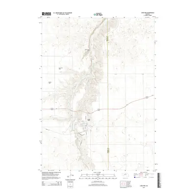
2014 Map of Long Pine
USGS Topo · Published 2014About this map
Long Pine sits at the heart of this North-Central Nebraska landscape, where the town’s street grid meets the winding path of Long Pine Creek. The area is defined by the dramatic incision of the creek valley through the surrounding plateau, creating notable topographic breaks like Rattlesnake Gulch and the broad Ainsworth Table to the west. This 2014 survey captures a transition in local transportation, marking the Cowboy Trl—a significant rails-to-trails conversion following the old Chicago and North Western line—running directly through the settlement. To the east, the boundary between Brown Co and Rock Co divides the rolling rangelands. The map reveals the local infrastructure of the early 21st century, from the NE-9A Spur connecting the town to the regional highway system, to more evocative local landmarks like Buffalo Flats and the curiously named Hidden Paradise Rd along the water.
Find a feature on this map
25 named features on this map. Tap any name to fly to it.
Don’t see what you’re looking for? This feature index may not catch every label — zoom into the map to look around manually.
Map Details
Editions of this 2014 Long Pine Map
This is the sole edition of this map. No revisions or reprints were ever made.
Other maps of this area

1949 · Dutch Creek
USGS Topo · 1:24,000

1949 · Riverview
USGS Topo · 1:24,000

1950 · Bassett NW
USGS Topo · 1:24,000

1950 · Riverview
USGS Topo · 1:24,000

1950 · Dutch Creek
USGS Topo · 1:24,000

1954 · Ainsworth
USGS Topo · 1:24,000

1954 · Long Pine
USGS Topo · 1:24,000

1954 · Bassett
USGS Topo · 1:24,000

1955 · O'Neill
USGS Topo · 1:250,000

1959 · O'Neill
USGS Topo · 1:250,000