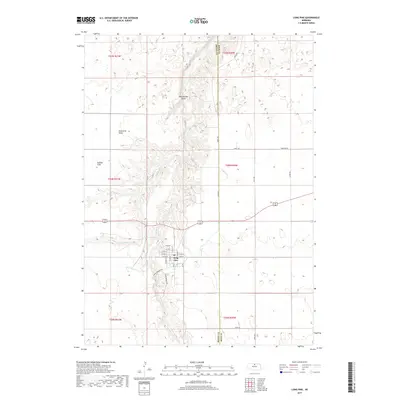
2017 Map of Long Pine
USGS Topo · Published 2017About this map
Long Pine sits at the center of this 2017 landscape where the high, flat plains of the Ainsworth Table and Buffalo Flats are deeply incised by the canyon of Long Pine Cr. The town's grid is clearly defined by streets like Main St and N Elm St, while the surrounding geography reveals the dramatic transition from agricultural tablelands to the rugged drainages of Willow Cr and Rattlesnake Gulch. The map provides a precise view of rural infrastructure, tracing county lines between Brown Co and Rock Co and identifying important local connectors such as Hidden Paradise Rd and Seven Springs Rd. This topography highlights the vital relationship between the settlement and the water source that carved this unique break in the Nebraska prairie.
Find a feature on this map
36 named features on this map. Tap any name to fly to it.
Don’t see what you’re looking for? This feature index may not catch every label — zoom into the map to look around manually.
Map Details
Editions of this 2017 Long Pine Map
This is the sole edition of this map. No revisions or reprints were ever made.
Other maps of this area

1949 · Dutch Creek
USGS Topo · 1:24,000

1949 · Riverview
USGS Topo · 1:24,000

1950 · Bassett NW
USGS Topo · 1:24,000

1950 · Riverview
USGS Topo · 1:24,000

1950 · Dutch Creek
USGS Topo · 1:24,000

1954 · Ainsworth
USGS Topo · 1:24,000

1954 · Long Pine
USGS Topo · 1:24,000

1954 · Bassett
USGS Topo · 1:24,000

1955 · O'Neill
USGS Topo · 1:250,000

1959 · O'Neill
USGS Topo · 1:250,000