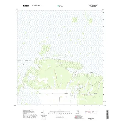
2021 Map of Long Pine Key
USGS Topo · Published 2021About this map
The Everglades landscape dominates this southern Florida survey, where the vast subtropical wetlands meet the slightly elevated terrain of Long Pine Key. This area within Everglades National Park is defined by a complex network of hiking and maintenance routes that pierce the pine rocklands. The presence of Nike Missile Base Road and Research Road in the southern portion of the sheet points to the region's mid-century history of military defense and ongoing ecological study.
Find a feature on this map
25 named features on this map. Tap any name to fly to it.
Don’t see what you’re looking for? This feature index may not catch every label — zoom into the map to look around manually.
Map Details
Editions of this 2021 Long Pine Key Map
This is the sole edition of this map. No revisions or reprints were ever made.
Other maps of this area

1956 · Grossman Hammock
USGS Topo · 1:24,000

1956 · Royal Palm Ranger Station
USGS Topo · 1:24,000

1956 · Royal Palm Ranger Station SE
USGS Topo · 1:24,000

1956 · Miami
USGS Topo · 1:250,000

1958 · Miami
USGS Topo · 1:250,000

1967 · Royal Palm Ranger Station SE
USGS Topo · 1:24,000

1972 · Mahogany Hammock
USGS Topo · 1:24,000

1972 · Taylor Slough
USGS Topo · 1:24,000

1972 · Long Pine Key
USGS Topo · 1:24,000

1972 · Panther Mound
USGS Topo · 1:24,000