
1972 Map of Long Ridge Reservoir
USGS Topo · Published 1974About this map
Long Ridge Reservoir serves as a central landmark in this arid portion of Millard County, capturing the remote desert landscape of Utah in the early 1970s. The topography is defined by the steady descent of the Long Ridge into the basin, where small ephemeral water features like Rain Lakes dot the high plateaus. This 1972 survey reflects a quiet, undeveloped era for the region, where activity was primarily limited to land management and exploratory mining as evidenced by several marked Prospects in the eastern foothills. The map provides a clear record of the section lines and fencing that organized this western range, illustrating the scale of rural land use before modern expansion. It is a focused study of a landscape where water management and resource exploration dictated the sparse human footprint.
Find a feature on this map
3 named features on this map. Tap any name to fly to it.
Don’t see what you’re looking for? This feature index may not catch every label — zoom into the map to look around manually.
Map Details
Editions of this 1972 Long Ridge Reservoir Map
This is the sole edition of this map. No revisions or reprints were ever made.
Other maps of this area

1908 · Fish Springs
USGS Topo · 1:250,000

1910 · Fish Springs
USGS Topo · 1:250,000

1953 · Delta
USGS Topo · 1:250,000

1958 · Delta
USGS Topo · 1:250,000

1960 · Notch Peak
USGS Topo · 1:62,500

1962 · Delta
USGS Topo · 1:250,000

1972 · Whirlwind Valley SW
USGS Topo · 1:24,000
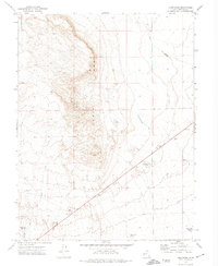
1972 · Long Ridge
USGS Topo · 1:24,000
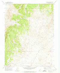
1972 · Marjum Pass
USGS Topo · 1:24,000
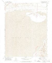
1972 · Long Ridge SE
USGS Topo · 1:24,000