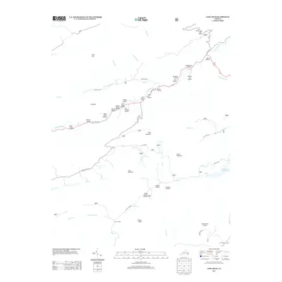
2013 Map of Long Spur
USGS Topo · Published 2013About this map
Cove Mountain and Piney Mountain define the topographical character of this portion of Pulaski County, where the landscape is marked by an intricate network of hollows bearing the names of early families and natural landmarks. Settled along the Little Creek Hwy, the community of Long Spur sits near several distinct drainages including Joe Graham Hollow and Wash Place Hollow. The northern reaches of the map follow the course of Little Walker Cr, while the southern area is dominated by Peak Cr and the Gatewood Reservoir. This 2013 survey illustrates the enduring rural patterns of the region, from the crossroads at Forks of Road to the numerous named hollows like Schoolhouse Hollow and Brickkiln Hollow that reflect the area's social and industrial history.
Find a feature on this map
52 named features on this map. Tap any name to fly to it.
Don’t see what you’re looking for? This feature index may not catch every label — zoom into the map to look around manually.
Map Details
Editions of this 2013 Long Spur Map
This is the sole edition of this map. No revisions or reprints were ever made.
Other maps of this area

1887 · Pocahontas
USGS Topo · 1:125,000

1889 · Hillsville
USGS Topo · 1:125,000

1889 · Wytheville
USGS Topo · 1:125,000

1890 · Dublin
USGS Topo · 1:125,000

1891 · Pocahontas
USGS Topo · 1:125,000

1891 · Dublin
USGS Topo · 1:125,000

1892 · Hillsville
USGS Topo · 1:125,000

1892 · Wytheville
USGS Topo · 1:125,000

1894 · Pocahontas
USGS Topo · 1:125,000

1895 · Pocahontas
USGS Topo · 1:125,000