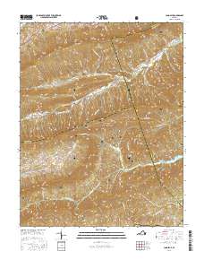
2016 Map of Long Spur
USGS Topo · Published 2016About this map
Walker Mtn and Little Walker Mtn dominate this section of the Appalachian landscape, where the borders of Bland, Pulaski, and Wythe counties converge. The rugged topography is defined by a series of parallel ridges and deep hollows, such as Schoolhouse Hollow and Bearwallow Hollow, which have dictated the historical paths of travel and small-scale settlement. Much of the central and southern terrain is managed as part of the Jefferson National Forest, preserving the wooded character of Cove Mtn and Brushy Ridge. Local genealogy is anchored by the presence of Goshen Cem and Hidden Valley Cem, while the hydrological network of Little Walker Creek and the Gatewood Reservoir underscores the importance of water management in this upland region. The settlement of Long Spur sits near the headwaters of Spur Br, representing the isolated mountain communities characteristic of southwest Virginia.
Find a feature on this map
54 named features on this map. Tap any name to fly to it.
Don’t see what you’re looking for? This feature index may not catch every label — zoom into the map to look around manually.
Map Details
Editions of this 2016 Long Spur Map
This is the sole edition of this map. No revisions or reprints were ever made.
Other maps of this area

1887 · Pocahontas
USGS Topo · 1:125,000

1889 · Hillsville
USGS Topo · 1:125,000

1889 · Wytheville
USGS Topo · 1:125,000

1890 · Dublin
USGS Topo · 1:125,000

1891 · Pocahontas
USGS Topo · 1:125,000

1891 · Dublin
USGS Topo · 1:125,000

1892 · Hillsville
USGS Topo · 1:125,000

1892 · Wytheville
USGS Topo · 1:125,000

1894 · Pocahontas
USGS Topo · 1:125,000

1895 · Pocahontas
USGS Topo · 1:125,000