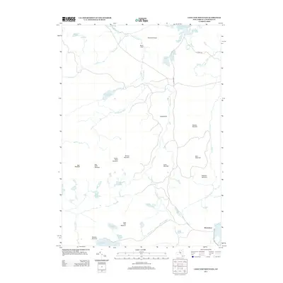
2013 Map of Long Tom Mountain
USGS Topo · Published 2013About this map
The S Br Grass River winds through this Saint Lawrence County landscape, defining a network of remote waterways and peaks in the Adirondack region. Near the southern edge, the settlement of Horseshoe sits adjacent to Horseshoe Lake, providing a rare point of habitation in a terrain otherwise characterized by its namesake peaks and numerous glacial ponds. The drainage pattern is complex, with Silver Brook and Roaring Brook feeding into the larger river systems that cut between elevations like Long Tom Mountain and Wheeler Mountain.
Find a feature on this map
43 named features on this map. Tap any name to fly to it.
Don’t see what you’re looking for? This feature index may not catch every label — zoom into the map to look around manually.
Map Details
Editions of this 2013 Long Tom Mountain Map
This is the sole edition of this map. No revisions or reprints were ever made.
Other maps of this area

1907 · Tupper Lake
USGS Topo · 1:62,500

1919 · Cranberry Lake
USGS Topo · 1:62,500

1920 · Childwold
USGS Topo · 1:62,500

1921 · Cranberry Lake
USGS Topo · 1:62,500

1921 · Childwold
USGS Topo · 1:48,000

1921 · Stark
USGS Topo · 1:62,500

1922 · Childwold
USGS Topo · 1:62,500

1923 · Stark
USGS Topo · 1:62,500

1931 · Cranberry Lake
USGS Topo · 1:62,500

1940 · Stark
USGS Topo · 1:62,500