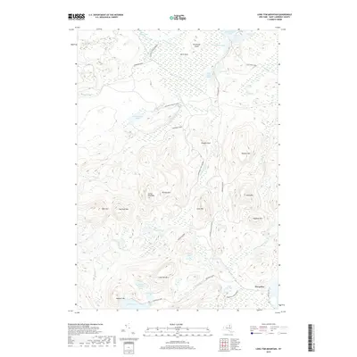
2019 Map of Long Tom Mountain
USGS Topo · Published 2019About this map
Horseshoe stands as a primary point of human activity in this remote wilderness within the Adirondack Park Preserve of Saint Lawrence County. The landscape is defined by its complex network of high peaks and isolated water bodies, where ridges like Long Tom Mtn and Haystack Mtn overlook numerous glacially formed ponds and wetlands. These interior waters, including the sprawling Massawepie Lake, Lake Marian, and Center Pond, feed into essential waterways like the S Br Grass River and Sucker Brook.
Find a feature on this map
43 named features on this map. Tap any name to fly to it.
Don’t see what you’re looking for? This feature index may not catch every label — zoom into the map to look around manually.
Map Details
Editions of this 2019 Long Tom Mountain Map
This is the sole edition of this map. No revisions or reprints were ever made.
Other maps of this area

1907 · Tupper Lake
USGS Topo · 1:62,500

1919 · Cranberry Lake
USGS Topo · 1:62,500

1920 · Childwold
USGS Topo · 1:62,500

1921 · Cranberry Lake
USGS Topo · 1:62,500

1921 · Childwold
USGS Topo · 1:48,000

1921 · Stark
USGS Topo · 1:62,500

1922 · Childwold
USGS Topo · 1:62,500

1923 · Stark
USGS Topo · 1:62,500

1931 · Cranberry Lake
USGS Topo · 1:62,500

1940 · Stark
USGS Topo · 1:62,500