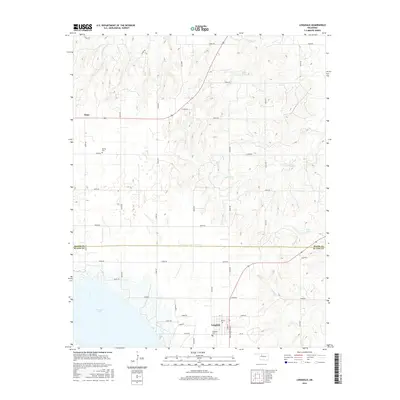
2016 Map of Longdale
USGS Topo · Published 2016About this map
Longdale sits at the southern edge of this West-Central Oklahoma landscape, organized around a traditional grid including Main St, Pine St, and Ken Miller Blvd. The town's proximity to the northern reaches of Canton Lake defines the local geography, where the reservoir meets the inflow of various drainages. To the north, the terrain transitions into a sparsely populated agricultural and ranching area marked by a rigid section-line road network. The settlement of Dane and the Bethel Cem provide points of reference in the northern half of the survey, while Kusch Lake and Wahl Lake appear as smaller water bodies tucked among the draws. Several creek systems, including Sand Cr and Cottonwood Cr, move across the county line between Major and Blaine counties, illustrating the natural drainage patterns into the North Canadian River basin.
Find a feature on this map
40 named features on this map. Tap any name to fly to it.
Don’t see what you’re looking for? This feature index may not catch every label — zoom into the map to look around manually.
Map Details
Editions of this 2016 Longdale Map
This is the sole edition of this map. No revisions or reprints were ever made.
Other maps of this area

1955 · Woodward
USGS Topo · 1:250,000

1958 · Woodward
USGS Topo · 1:250,000

1969 · Glass Mountains
USGS Topo · 1:24,000

1969 · Fairview
USGS Topo · 1:24,000

1969 · Glass Mountains SW
USGS Topo · 1:24,000

1972 · Longdale
USGS Topo · 1:24,000

1972 · Canton NW
USGS Topo · 1:24,000

1972 · Canton
USGS Topo · 1:24,000

1972 · Canton SW
USGS Topo · 1:24,000

1972 · Southard
USGS Topo · 1:24,000