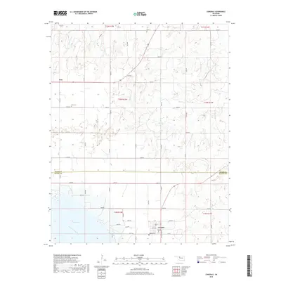
2018 Map of Longdale
USGS Topo · Published 2018About this map
Longdale occupies the southern reach of this survey, positioned just north of the expansive Canton Lake shoreline and the North Canadian River. The town layout is clearly defined by local thoroughfares such as Broadway, Main ST, and Ken Miller Blvd, reflecting a grid established at the edge of the water. To the west, the rural landscape is marked by the Bethel Cem near the former site of Dane, while the Longdale Cem serves the immediate community to the south. This area of Oklahoma is characterized by its drainage network, where several tributaries including Cottonwood Cr, Skunk Cr, and Sand Cr carve through the terrain as they descend toward the river basin. The map illustrates the interface between established section-line roads and the undulating geography of the river valley near the Major Co and Blaine Co boundary.
Find a feature on this map
45 named features on this map. Tap any name to fly to it.
Don’t see what you’re looking for? This feature index may not catch every label — zoom into the map to look around manually.
Map Details
Editions of this 2018 Longdale Map
This is the sole edition of this map. No revisions or reprints were ever made.
Other maps of this area

1955 · Woodward
USGS Topo · 1:250,000

1958 · Woodward
USGS Topo · 1:250,000

1969 · Glass Mountains
USGS Topo · 1:24,000

1969 · Fairview
USGS Topo · 1:24,000

1969 · Glass Mountains SW
USGS Topo · 1:24,000

1972 · Longdale
USGS Topo · 1:24,000

1972 · Canton NW
USGS Topo · 1:24,000

1972 · Canton
USGS Topo · 1:24,000

1972 · Canton SW
USGS Topo · 1:24,000

1972 · Southard
USGS Topo · 1:24,000