Loading...
Loading map...2022 Map of Longdale
USGS Topo · Published 2022About this map
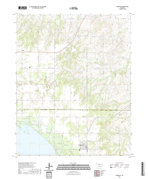
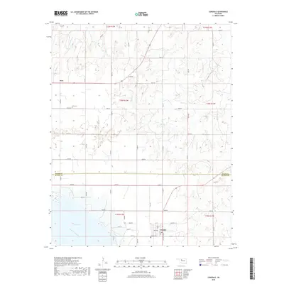
Canton Lake dominates the southwestern corner of this survey, defining the local topography and drainage patterns for the surrounding plains. The settlement of Longdale serves as the primary hub in the south, laid out with a clear grid including Main St, Broadway, and Ken Miller Blvd. Further north, the smaller community of Dane sits along the section lines, reflecting the rural township structure typical of this part of the state.
Find a feature on this map
44 named features on this map. Tap any name to fly to it.
Don’t see what you’re looking for? This feature index may not catch every label — zoom into the map to look around manually.
Map Details
Date Portrayed2022
Date Published2022
PublisherU.S. Geological Survey
Map TypeTopographic
Scale1:24,000
Physical Dimensions24 x 29 inches
Editions of this 2022 Longdale Map
This is the sole edition of this map. No revisions or reprints were ever made.
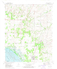
Historical Maps of Longdale Through Time
6 maps found

Featured Locations
Source Details
SourceU.S. Geological Survey
CopyrightPublic Domain