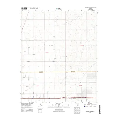
2013 Map of Longhorn Reservoir
USGS Topo · Published 2013About this map
Longhorn Reservoir and the adjacent Stinking Spring anchor this landscape along the border of Santa Fe and Torrance counties. The area is defined by a sparse network of ranching homesteads and unpaved roads, including Rowell Ranch, Montaño Ranch, and Erramousbe Ranch. The terrain is marked by seasonal watercourses like Armijo Draw, which cuts across the central part of the quadrangle.
Find a feature on this map
44 named features on this map. Tap any name to fly to it.
Don’t see what you’re looking for? This feature index may not catch every label — zoom into the map to look around manually.
Map Details
Editions of this 2013 Longhorn Reservoir Map
This is the sole edition of this map. No revisions or reprints were ever made.
Other maps of this area

1892 · San Pedro
USGS Topo · 1:125,000

1894 · Lamy
USGS Topo · 1:125,000

1917 · Estancia
USGS Topo · 1:125,000

1954 · Santa Fe
USGS Topo · 1:250,000

1954 · Fort Sumner
USGS Topo · 1:250,000

1954 · Socorro
USGS Topo · 1:250,000

1956 · Edgewood
USGS Topo · 1:62,500

1956 · Estancia
USGS Topo · 1:62,500

1958 · Socorro
USGS Topo · 1:250,000

1958 · Fort Sumner
USGS Topo · 1:250,000