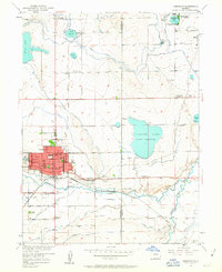
1950 Map of Longmont
USGS Topo · Published 1963About this map
Longmont serves as the focal point of this 1950s landscape, situated at the intersection of a complex agricultural irrigation network. The town is densely detailed with numerous neighborhood landmarks including Roosevelt Park, Sunset Park, and the St Johns Sch. Beyond the urban grid, the surrounding plains are defined by an extensive system of man-made waterways like the Oligarchy Ditch, Chicago Ditch, and Highland Supply Ditch, which fuel the local economy by feeding numerous bodies of water such as Terry Lake and Calkins Lake (Union Reservoir).
Find a feature on this map
54 named features on this map. Tap any name to fly to it.
Don’t see what you’re looking for? This feature index may not catch every label — zoom into the map to look around manually.
Map Details
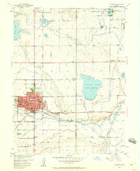
Editions of this 1950 Longmont Map
2 editions found
Other maps of this area

1902 · Greeley
USGS Topo · 1:125,000

1904 · Niwot
USGS Topo · 1:62,500

1906 · Loveland
USGS Topo · 1:62,500

1908 · Loveland
USGS Topo · 1:62,500

1949 · Gowanda
USGS Topo · 1:24,000

1950 · Frederick
USGS Topo · 1:24,000

1950 · Gowanda
USGS Topo · 1:24,000

1950 · Hygiene
USGS Topo · 1:24,000
1950 · Erie
USGS Topo · 1:24,000

1950 · Niwot
USGS Topo · 1:24,000