
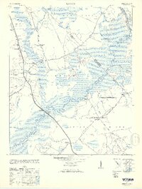
1953 Map of Longs
USGS Topo · Published 1953About this map
Waccamaw River winds through the heart of the coastal plain, defining a landscape of extensive wetlands such as Simpson Creek Swamp and the Shallotte area. This 1953 reprint of earlier 1940s surveys reveals a rural South Carolina and North Carolina borderland where water and timber dictated the layout of human activity. The presence of the Old RR Grade cutting through the Bug Hill district suggests a legacy of logging or transport that had already transitioned by the mid-century.
Find a feature on this map
44 named features on this map. Tap any name to fly to it.
Don’t see what you’re looking for? This feature index may not catch every label — zoom into the map to look around manually.
Map Details
Editions of this 1953 Longs Map
2 editions found
Other maps of this area

1937 · Nixonville
USGS Topo · 1:48,000

1942 · Nixonville
USGS Topo · 1:62,500

1943 · Little River
USGS Topo · 1:31,680

1943 · Pireway
USGS Topo · 1:31,680

1943 · Calabash
USGS Topo · 1:31,680

1943 · Wampee
USGS Topo · 1:24,000

1943 · Freeland
USGS Topo · 1:24,000

1944 · Longs
USGS Topo · 1:31,680

1949 · Georgetown
USGS Topo · 1:250,000
1953 · Little River
USGS Topo · 1:24,000