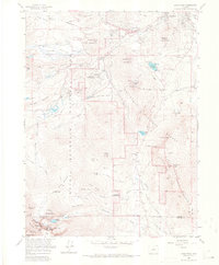
1961 Map of Longs Peak
USGS Topo · Published 1967About this map
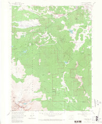
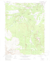
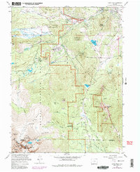
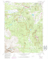
Longs Peak dominates the southern reaches of this mountain landscape, its massive profile surrounded by glacial features like the Mills Moraine and the Mills Glacier. In the early 1960s, the area reflects a transition between early frontier industry and a growing recreational economy. The presence of the Eugenia Mine north of Moore Park provides a window into the mineral extraction that preceded the region's preservation, while the Estes Park Conference Camp (YMCA) and Tuxedo Park near Estes Park mark the maturation of the valley as a destination. Water management is evident at the Gaging Sta and Marys Lake, where the landscape is utilized for both utility and beauty. The map documents the intricate high-altitude geography of Rocky Mountain National Park, including the jagged outlines of The Keyhole and The Loft, alongside the established infrastructure of the Longs Peak Ranger Station and various campgrounds.
Find a feature on this map
76 named features on this map. Tap any name to fly to it.
Don’t see what you’re looking for? This feature index may not catch every label — zoom into the map to look around manually.
Map Details
Editions of this 1961 Longs Peak Map
8 editions found
Other maps of this area

1902 · Boulder
USGS Topo · 1:62,500

1904 · Boulder
USGS Topo · 1:62,500

1905 · Mount Olympus
USGS Topo · 1:62,500

1907 · Mount Olympus
USGS Topo · 1:62,500

1915 · Longs Peak
USGS Topo · 1:125,000

1919 · Rocky Mountain National Park
USGS Topo · 1:125,000

1954 · Greeley
USGS Topo · 1:250,000

1957 · Greeley
USGS Topo · 1:250,000

1957 · Mc Henrys Peak
USGS Topo · 1:24,000

1957 · Trail Ridge
USGS Topo · 1:24,000