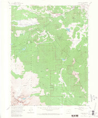
1961 Map of Longs Peak
USGS Topo · Published 1967About this map
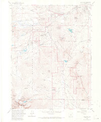
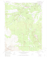
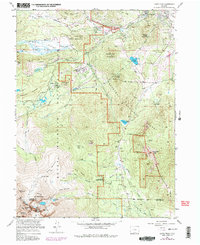
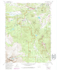
Estes Park and its surrounding wilderness appear here in the early 1960s, a period of established tourism and conservation at the foot of the Continental Divide. The landscape is defined by the high-altitude topography of Rocky Mountain National Park and Roosevelt National Forest, where established institutional sites like the Estes Park Conference Camp (YMCA) and Cheley Camp mark the region's history as a summer retreat. To the south, the dramatic summit of Longs Peak towers over glaciers and alpine lakes, including Chasm Lake and Peacock Pool.
Find a feature on this map
82 named features on this map. Tap any name to fly to it.
Don’t see what you’re looking for? This feature index may not catch every label — zoom into the map to look around manually.
Map Details
Editions of this 1961 Longs Peak Map
8 editions found
Other maps of this area

1902 · Boulder
USGS Topo · 1:62,500

1904 · Boulder
USGS Topo · 1:62,500

1905 · Mount Olympus
USGS Topo · 1:62,500

1907 · Mount Olympus
USGS Topo · 1:62,500

1915 · Longs Peak
USGS Topo · 1:125,000

1919 · Rocky Mountain National Park
USGS Topo · 1:125,000

1954 · Greeley
USGS Topo · 1:250,000

1957 · Greeley
USGS Topo · 1:250,000

1957 · Mc Henrys Peak
USGS Topo · 1:24,000

1957 · Trail Ridge
USGS Topo · 1:24,000