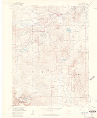
1961 Map of Longs Peak
USGS Topo · Published 1961About this map
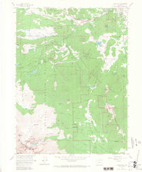
Rocky Mountain National Park and the adjacent Roosevelt National Forest dominate this 1961 topographical study, centered on the high-altitude gateway of Estes Park. The map documents a landscape defined by glacial activity and early recreation, featuring prominent formations such as the South Lateral Moraine and Bierstadt Moraine. Recreational and administrative infrastructure is well-established, noted by the Estes Park Conference Camp (YMCA), several Ranger Stations, and a Filtration Plant.
Find a feature on this map
87 named features on this map. Tap any name to fly to it.
Don’t see what you’re looking for? This feature index may not catch every label — zoom into the map to look around manually.
Map Details
Editions of this 1961 Longs Peak Map
8 editions found
Other maps of this area
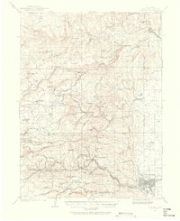
1902 · Boulder
USGS Topo · 1:62,500
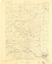
1904 · Boulder
USGS Topo · 1:62,500
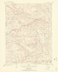
1905 · Mount Olympus
USGS Topo · 1:62,500
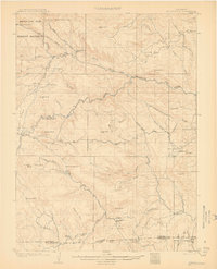
1907 · Mount Olympus
USGS Topo · 1:62,500
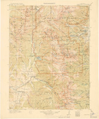
1915 · Longs Peak
USGS Topo · 1:125,000
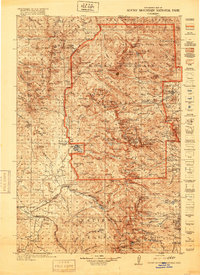
1919 · Rocky Mountain National Park
USGS Topo · 1:125,000
1954 · Greeley
USGS Topo · 1:250,000
1957 · Greeley
USGS Topo · 1:250,000
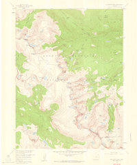
1957 · Mc Henrys Peak
USGS Topo · 1:24,000
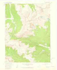
1957 · Trail Ridge
USGS Topo · 1:24,000