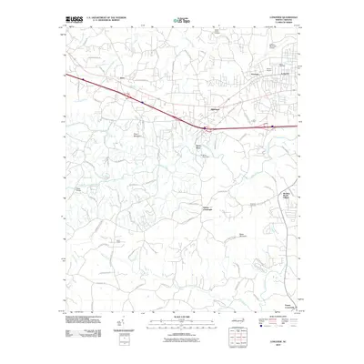
2010 Map of Longview
USGS Topo · Published 2010About this map
Henry River and its various forks carve through the landscape of western North Carolina, defining the topography south of the Longview and Hildebran corridor. The waterway is punctuated by the Henry River Dam, a notable industrial landmark in an area characterized by a mix of suburban development and rural woodland. Further south, the terrain rises toward Baker Mountain, while the northern reaches are dominated by the logistics and transport hub surrounding the Hickory Municipal Airport.
Find a feature on this map
81 named features on this map. Tap any name to fly to it.
Don’t see what you’re looking for? This feature index may not catch every label — zoom into the map to look around manually.
Map Details
Editions of this 2010 Longview Map
This is the sole edition of this map. No revisions or reprints were ever made.
Other maps of this area

1895 · Hickory
USGS Topo · 1:125,000

1905 · Morganton
USGS Topo · 1:125,000

1953 · Charlotte
USGS Topo · 1:250,000

1954 · Charlotte
USGS Topo · 1:250,000

1956 · Valdese
USGS Topo · 1:24,000

1956 · Casar
USGS Topo · 1:24,000

1956 · Drexel
USGS Topo · 1:24,000

1956 · Lenoir
USGS Topo · 1:62,500

1960 · Charlotte
USGS Topo · 1:250,000

1962 · Charlotte
USGS Topo · 1:250,000