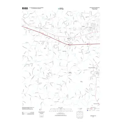
2013 Map of Longview
USGS Topo · Published 2013About this map
Icard and Hildebran anchor the industrial and residential corridor along the northern edge of this North Carolina survey, where the suburban growth of the Catawba Valley meets the rolling foothills of the Blue Ridge. The landscape is defined by the winding paths of Henry Fork and Jacob Fork, which carve through a series of named peaks including Baker Mountain, Piney Mountain, and Knob Mountain. This era shows a transition from agricultural land to more dense development, with numerous rural community centers like Advent Crossroads and Propst Crossroads maintaining their identities amidst the expanding street grids of Longview. Local landmarks such as Berea Church and the Hickory Regional Airport provide essential orientation points, while smaller settlements like Meadow Brook Village and Penelope indicate the localized nature of community development in the early 21st century.
Find a feature on this map
305 named features on this map. Tap any name to fly to it.
Don’t see what you’re looking for? This feature index may not catch every label — zoom into the map to look around manually.
Map Details
Editions of this 2013 Longview Map
This is the sole edition of this map. No revisions or reprints were ever made.
Other maps of this area

1895 · Hickory
USGS Topo · 1:125,000

1905 · Morganton
USGS Topo · 1:125,000

1953 · Charlotte
USGS Topo · 1:250,000

1954 · Charlotte
USGS Topo · 1:250,000

1956 · Valdese
USGS Topo · 1:24,000

1956 · Casar
USGS Topo · 1:24,000

1956 · Drexel
USGS Topo · 1:24,000

1956 · Lenoir
USGS Topo · 1:62,500

1960 · Charlotte
USGS Topo · 1:250,000

1962 · Charlotte
USGS Topo · 1:250,000