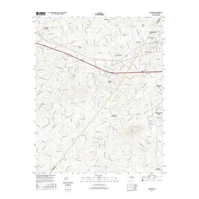
2016 Map of Longview
USGS Topo · Published 2016About this map
The Southern railroad corridor anchors the northern reach of this landscape, connecting the industrial and residential hubs of Hickory, Longview, and Hildebran. The terrain is defined by the descent toward the Henry Fork and Jacob Fork rivers, where smaller communities like Henry River and Advent Crossroads are situated among the winding creek valleys. While the north shows more dense development near the Hickory Regional Airport, the southern portion of the map transitions into more rural family-named landmarks and historical community centers. Notable sites for local history include the Brookford Cem and Bethel Cem, alongside educational landmarks like the Icard School and George Hildebran School. The map captures the meeting of established town grids and the older road networks of Burke Co and Catawba Co.
Find a feature on this map
235 named features on this map. Tap any name to fly to it.
Don’t see what you’re looking for? This feature index may not catch every label — zoom into the map to look around manually.
Map Details
Editions of this 2016 Longview Map
This is the sole edition of this map. No revisions or reprints were ever made.
Other maps of this area

1895 · Hickory
USGS Topo · 1:125,000

1905 · Morganton
USGS Topo · 1:125,000

1953 · Charlotte
USGS Topo · 1:250,000

1954 · Charlotte
USGS Topo · 1:250,000

1956 · Valdese
USGS Topo · 1:24,000

1956 · Casar
USGS Topo · 1:24,000

1956 · Drexel
USGS Topo · 1:24,000

1956 · Lenoir
USGS Topo · 1:62,500

1960 · Charlotte
USGS Topo · 1:250,000

1962 · Charlotte
USGS Topo · 1:250,000