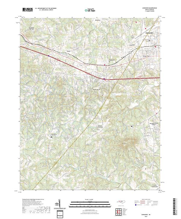
2022 Map of Longview
USGS Topo · Published 2022About this map
Hickory and its western suburbs define this 2022 survey, showcasing the modern landscape of the Burke and Catawba County line. The transportation spine of the region is clearly established by the parallel paths of I-40, US Hwy 70, and the Norfolk Southern railroad, which together connect a series of established communities including Hildebran, Icard, and Connelly Springs. This alignment reflects the historical development of the Piedmont's industrial corridor, where towns grew alongside the rail and highway networks.
Find a feature on this map
28 named features on this map. Tap any name to fly to it.
Don’t see what you’re looking for? This feature index may not catch every label — zoom into the map to look around manually.
Map Details
Editions of this 2022 Longview Map
This is the sole edition of this map. No revisions or reprints were ever made.
Other maps of this area

1895 · Hickory
USGS Topo · 1:125,000

1905 · Morganton
USGS Topo · 1:125,000

1953 · Charlotte
USGS Topo · 1:250,000

1954 · Charlotte
USGS Topo · 1:250,000

1956 · Valdese
USGS Topo · 1:24,000

1956 · Casar
USGS Topo · 1:24,000

1956 · Drexel
USGS Topo · 1:24,000

1956 · Lenoir
USGS Topo · 1:62,500

1960 · Charlotte
USGS Topo · 1:250,000

1962 · Charlotte
USGS Topo · 1:250,000