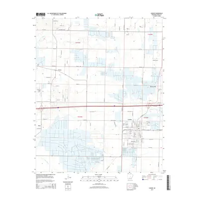
2014 Map of Lonoke
USGS Topo · Published 2014About this map
Lonoke serves as the central hub of this Arkansas landscape, where the traditional grid of the town site meets the expansive agricultural reaches of Grand Prairie and Long Prairie. The map documents a transition from established residential centers to rural farmsteads, connected by a network of local routes like Saylor Rd and Brownsville Loop. This 2014 survey reveals the importance of local aviation with both Bully Henry Airport and Country Air Estates Airport situated among the fields north of the city.
Find a feature on this map
114 named features on this map. Tap any name to fly to it.
Don’t see what you’re looking for? This feature index may not catch every label — zoom into the map to look around manually.
Map Details
Editions of this 2014 Lonoke Map
This is the sole edition of this map. No revisions or reprints were ever made.
Other maps of this area

1891 · Little Rock
USGS Topo · 1:125,000

1893 · Little Rock
USGS Topo · 1:125,000

1937 · England
USGS Topo · 1:48,000

1940 · Lonoke
USGS Topo · 1:62,500

1941 · Cabot
USGS Topo · 1:31,680

1942 · Scott
USGS Topo · 1:31,680

1943 · England
USGS Topo · 1:62,500

1943 · Jacksonville
USGS Topo · 1:31,680

1948 · Helena
USGS Topo · 1:250,000

1949 · Lonoke
USGS Topo · 1:62,500