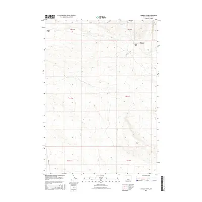
2015 Map of Lookout Butte
USGS Topo · Published 2015About this map
Lookout Butte rises as a prominent landmark in this high-plains landscape within Fremont County. The terrain is defined by dry watercourses and seasonal drainage patterns, most notably the Maverick Spring Draw and Teapot Wash which cut through the northern sections of the survey. The presence of Fivemile Cr and expansive level areas like Wildhorse Flats and Mexican Flat suggest a landscape used for grazing and resource management. Pavillion Ridge dominates the southeastern portion of the map, providing a topographical anchor to the surrounding flats. Human transit through this remote region is marked by Maverick Springs Rd, which skirts the western edge of the flats, connecting the various townships and ranges mapped in this detailed USGS study.
Find a feature on this map
14 named features on this map. Tap any name to fly to it.
Don’t see what you’re looking for? This feature index may not catch every label — zoom into the map to look around manually.
Map Details
Editions of this 2015 Lookout Butte Map
This is the sole edition of this map. No revisions or reprints were ever made.
Other maps of this area

1950 · Pavillion
USGS Topo · 1:24,000

1950 · Pavillion Butte
USGS Topo · 1:24,000

1950 · Shotgun Butte
USGS Topo · 1:24,000

1951 · Lookout Butte SW
USGS Topo · 1:24,000

1951 · Eagle Point
USGS Topo · 1:24,000

1951 · Morton
USGS Topo · 1:24,000

1951 · Lookout Butte
USGS Topo · 1:24,000

1951 · Argo Butte
USGS Topo · 1:24,000

1951 · Maverick Spring
USGS Topo · 1:24,000

1955 · Thermopolis
USGS Topo · 1:250,000