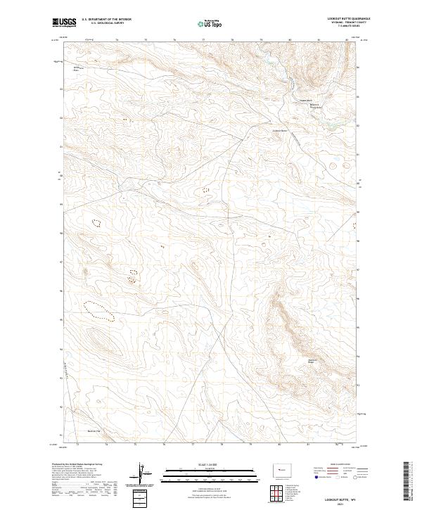
2021 Map of Lookout Butte
USGS Topo · Published 2021About this map
Lookout Butte rises as a central landmark in this portion of Fremont County, anchoring a landscape defined by expansive high-plains terrain and seasonal drainage systems. The survey reveals a network of ranching and access roads, including Arapahoe Ranch Rd and Maverick Spring Rd, which traverse the open reaches of Wildhorse Flats and Mexican Flat. These names suggest a history of livestock grazing and wild horse populations common to this part of the Wyoming interior.
Find a feature on this map
16 named features on this map. Tap any name to fly to it.
Don’t see what you’re looking for? This feature index may not catch every label — zoom into the map to look around manually.
Map Details
Editions of this 2021 Lookout Butte Map
This is the sole edition of this map. No revisions or reprints were ever made.
Other maps of this area

1950 · Pavillion
USGS Topo · 1:24,000

1950 · Pavillion Butte
USGS Topo · 1:24,000

1950 · Shotgun Butte
USGS Topo · 1:24,000

1951 · Lookout Butte SW
USGS Topo · 1:24,000

1951 · Eagle Point
USGS Topo · 1:24,000

1951 · Morton
USGS Topo · 1:24,000

1951 · Lookout Butte
USGS Topo · 1:24,000

1951 · Argo Butte
USGS Topo · 1:24,000

1951 · Maverick Spring
USGS Topo · 1:24,000

1955 · Thermopolis
USGS Topo · 1:250,000