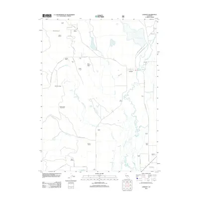
2012 Map of Lookout
USGS Topo · Published 2012About this map
The Pit River meanders through this portion of Modoc County, defining a landscape shaped by water management and ranching. The small community of Lookout serves as the local hub, connected to outlying points like Mammoth and the Lookout Siding. In the northern reaches, industrial history is noted at the Potter Sawmill near Lookout Siding.
Find a feature on this map
58 named features on this map. Tap any name to fly to it.
Don’t see what you’re looking for? This feature index may not catch every label — zoom into the map to look around manually.
Map Details
Editions of this 2012 Lookout Map
This is the sole edition of this map. No revisions or reprints were ever made.
Other maps of this area

1886 · Modoc Lava Bed
USGS Topo · 1:250,000

1892 · Modoc Lava-Bed
USGS Topo · 1:250,000

1954 · Alturas
USGS Topo · 1:250,000

1958 · Alturas
USGS Topo · 1:250,000

1961 · Bieber
USGS Topo · 1:62,500

1961 · Fall River Mills
USGS Topo · 1:62,500

1962 · Alturas
USGS Topo · 1:250,000

1962 · Crank Mountain
USGS Topo · 1:62,500

1962 · White Horse
USGS Topo · 1:62,500

1965 · Alturas
USGS Topo · 1:250,000