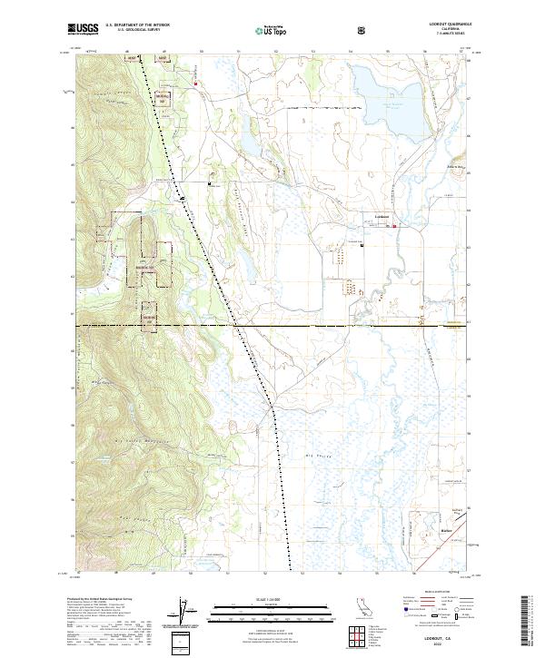
2022 Map of Lookout
USGS Topo · Published 2022About this map
Lookout and Bieber anchor this high-desert landscape where the Modoc and Lassen county lines meet. The terrain is defined by the broad expanse of Big Valley, a complex hydrologic network fed by the Pit River and numerous marshy drainages such as Bell Run Slough, Big Swamp, and Ash Creek. To the west, the Widow Valley Mountains and Alderman Ridge rise sharply from the valley floor, providing a stark contrast to the wetlands below. The map documents a land of careful water management, evident in features like Lower Roberts Reservoir and Kramer Reservoir. Local history is preserved at the Indian Cem and Lookout Cem, while the inclusion of Southard Field near Bieber highlights the area's modern infrastructure. The presence of Modoc NF land reflects the region's managed timber and grazing heritage along Buck Pasture Ridge and the Widow Valley corridor.
Find a feature on this map
63 named features on this map. Tap any name to fly to it.
Don’t see what you’re looking for? This feature index may not catch every label — zoom into the map to look around manually.
Map Details
Editions of this 2022 Lookout Map
This is the sole edition of this map. No revisions or reprints were ever made.
Other maps of this area

1886 · Modoc Lava Bed
USGS Topo · 1:250,000

1892 · Modoc Lava-Bed
USGS Topo · 1:250,000

1954 · Alturas
USGS Topo · 1:250,000

1958 · Alturas
USGS Topo · 1:250,000

1961 · Bieber
USGS Topo · 1:62,500

1961 · Fall River Mills
USGS Topo · 1:62,500

1962 · Alturas
USGS Topo · 1:250,000

1962 · Crank Mountain
USGS Topo · 1:62,500

1962 · White Horse
USGS Topo · 1:62,500

1965 · Alturas
USGS Topo · 1:250,000