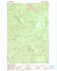
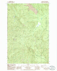
1986 Map of Lookout Mtn
USGS Topo · Published 1994About this map
Gifford Pinchot National Forest covers the majority of this landscape, revealing a complex network of volcanic and hydrologic features in the mid-1980s. The northern portion is dominated by West Crater, where a significant Lava flow is marked near Trout Creek. This area includes the Wind River Experimental Forest, which served as a dedicated site for silvicultural and ecological research.
Find a feature on this map
34 named features on this map. Tap any name to fly to it.
Don’t see what you’re looking for? This feature index may not catch every label — zoom into the map to look around manually.
Map Details
Editions of this 1986 Lookout Mtn Map
2 editions found
Other maps of this area

1926 · Hood River
USGS Topo · 1:125,000

1929 · Hood River
USGS Topo · 1:125,000

1940 · Lookout Mtn
USGS Topo · 1:62,500

1948 · Vancouver
USGS Topo · 1:250,000

1950 · Vancouver
USGS Topo · 1:250,000

1950 · Vancouver
USGS Topo · 1:250,000

1953 · Lookout Mtn
USGS Topo · 1:62,500

1953 · The Dalles
USGS Topo · 1:250,000

1954 · Bridal Veil
USGS Topo · 1:62,500

1956 · The Dalles
USGS Topo · 1:250,000