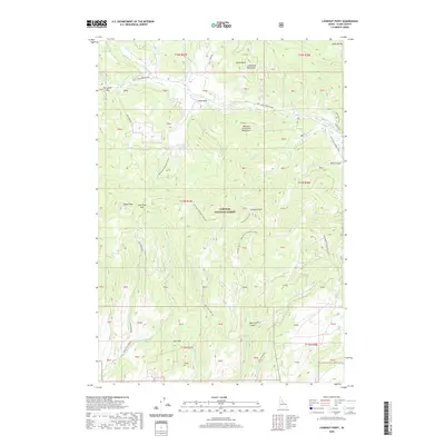
2020 Map of Lookout Point
USGS Topo · Published 2020About this map
Targhee National Forest encompasses this high-altitude landscape in Clark County, where the Centennial Mountains and the Western Centennial Mountains meet. The terrain is defined by prominent peaks such as Castle Peak and Signal Peak, and is bisected by a network of drainage systems including West Camas Creek and West Fork Rattlesnake Creek. A series of specialized access routes, such as the Alex Draw Road, Pete Creek Road, and the Lookout Point Spur, navigate the steep topography between Lookout Point and Opal Mountain. The map details a rugged transition of mountain passes, from Lone Pine Pass to Porcupine Pass, serving as a modern record of the interior forest infrastructure and hydrological features like Pass Creek Spring and Bear Gulch.
Find a feature on this map
70 named features on this map. Tap any name to fly to it.
Don’t see what you’re looking for? This feature index may not catch every label — zoom into the map to look around manually.
Map Details
Editions of this 2020 Lookout Point Map
This is the sole edition of this map. No revisions or reprints were ever made.
Other maps of this area

1950 · Lower Red Rock Lake
USGS Topo · 1:62,500

1955 · Dubois
USGS Topo · 1:250,000

1955 · Ashton
USGS Topo · 1:250,000

1958 · Dubois
USGS Topo · 1:250,000

1958 · Ashton
USGS Topo · 1:250,000

1960 · Ashton
USGS Topo · 1:250,000

1968 · Corral Creek
USGS Topo · 1:24,000

1968 · Big Table Mountain
USGS Topo · 1:24,000

1972 · Spencer South
USGS Topo · 1:24,000

1972 · Kilgore
USGS Topo · 1:24,000