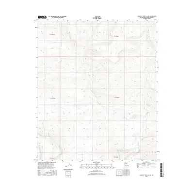
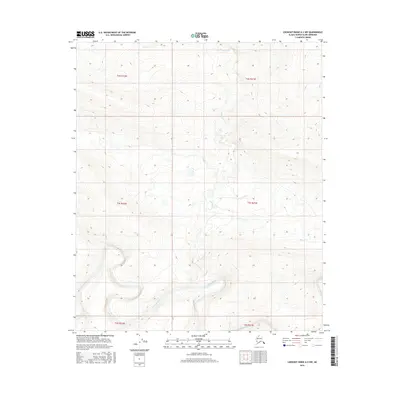
2016 Map of Lookout Ridge A-2 NE
USGS Topo · Published 2016About this map
The Awuna River flows along the southern boundary of this Arctic landscape, representing a primary hydrological feature in the North Slope's expansive drainage system. This 2016 survey documents the remote terrain of the Lookout Ridge A-2 NE quadrangle, where the land is defined by the winding course of Birthday Cr and the complex contour intervals of the surrounding ridges. The relationship between these watercourses and the topography illustrates the natural drainage patterns of the Alaskan interior prior to any significant modern industrial footprint. Researchers of the National Hydrography Dataset and the National Elevation Dataset will find precise mapping of the elevations and wetlands that characterize this isolated region of the Alaska North Slope Borough.
Find a feature on this map
2 named features on this map. Tap any name to fly to it.
Don’t see what you’re looking for? This feature index may not catch every label — zoom into the map to look around manually.
Map Details
Editions of this 2016 Lookout Ridge A-2 NE Map
This is the sole edition of this map. No revisions or reprints were ever made.
Other maps of this area

1951 · Lookout Ridge
USGS Topo · 1:250,000

1956 · Lookout Ridge
USGS Topo · 1:250,000
1984 · Lookout Ridge A-1
USGS Topo · 1:63,360
1984 · Lookout Ridge A-2
USGS Topo · 1:63,360
1985 · Lookout Ridge B-2
USGS Topo · 1:63,360
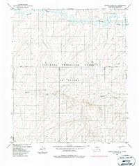
1985 · Lookout Ridge B-1
USGS Topo · 1:63,360
2016 · Lookout Ridge B-2 SW
USGS Topo · 1:25,000
2016 · Lookout Ridge A-2 SW
USGS Topo · 1:25,000
2016 · Lookout Ridge B-2 SE
USGS Topo · 1:25,000
2016 · Lookout Ridge A-2 NW
USGS Topo · 1:25,000