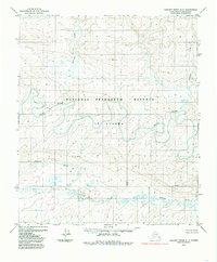
1984 Map of Lookout Ridge A-2
USGS Topo · Published 1985About this map
The National Petroleum Reserve in Alaska dominates this landscape, surveyed in the early 1970s and edited for this mid-1980s topographic record. The terrain is defined by the sinuous path of the Awuna River, which meanders across the central portion of the quadrangle, flanked by numerous small lakes and marshy depressions. To the south, the Lookout River flows through a similar network of wetlands, reflecting the complex drainage patterns of the North Slope.
Find a feature on this map
9 named features on this map. Tap any name to fly to it.
Don’t see what you’re looking for? This feature index may not catch every label — zoom into the map to look around manually.
Map Details
Editions of this 1984 Lookout Ridge A-2 Map
This is the sole edition of this map. No revisions or reprints were ever made.
Other maps of this area

1951 · Lookout Ridge
USGS Topo · 1:250,000

1951 · Howard Pass
USGS Topo · 1:250,000

1956 · Lookout Ridge
USGS Topo · 1:250,000

1956 · Howard Pass
USGS Topo · 1:250,000

1984 · Howard Pass D-1
USGS Topo · 1:63,360
1984 · Howard Pass D-3
USGS Topo · 1:63,360
1984 · Howard Pass D-2
USGS Topo · 1:63,360
1984 · Lookout Ridge A-1
USGS Topo · 1:63,360
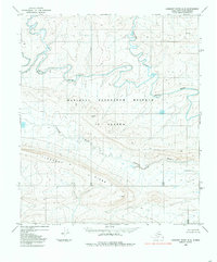
1984 · Lookout Ridge A-3
USGS Topo · 1:63,360
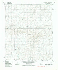
1985 · Lookout Ridge B-2
USGS Topo · 1:63,360