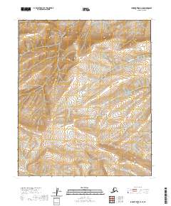
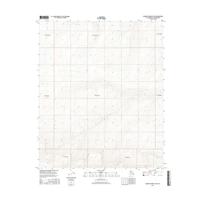
2020 Map of Lookout Ridge B-2 SE
USGS Topo · Published 2020About this map
The Kigalik River meanders across the northern reaches of the North Slope, carving through the remote tundra of the National Petroleum Reserve in Alaska. This 2020 topographic record captures the primary hydrological drainages that define this unpopulated Arctic landscape, including Birthday Cr in the southeast corner. The survey relies on high-resolution data from the National Hydrography Dataset and imagery from 2010 to document the shifting course of these vital water systems. Without roads or permanent settlements, the terrain is defined by its legal boundaries, such as t1s r21w and t1s r20w, which provide the only navigational framework for research and exploration in this portion of the North Slope Borough.
Find a feature on this map
6 named features on this map. Tap any name to fly to it.
Don’t see what you’re looking for? This feature index may not catch every label — zoom into the map to look around manually.
Map Details
Editions of this 2020 Lookout Ridge B-2 SE Map
This is the sole edition of this map. No revisions or reprints were ever made.
Other maps of this area

1951 · Lookout Ridge
USGS Topo · 1:250,000

1956 · Lookout Ridge
USGS Topo · 1:250,000
1984 · Lookout Ridge A-1
USGS Topo · 1:63,360
1984 · Lookout Ridge A-2
USGS Topo · 1:63,360
1985 · Lookout Ridge B-2
USGS Topo · 1:63,360
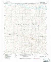
1985 · Lookout Ridge B-1
USGS Topo · 1:63,360
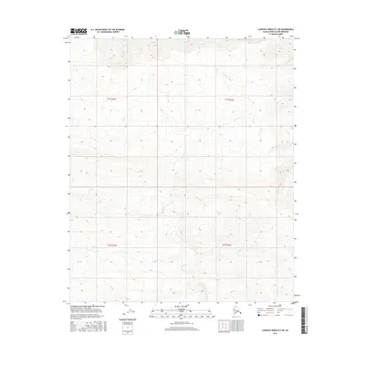
2016 · Lookout Ridge B-2 SW
USGS Topo · 1:25,000
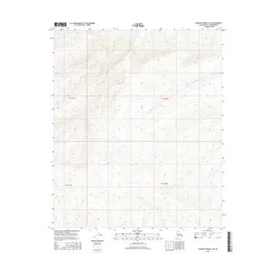
2016 · Lookout Ridge B-2 SE
USGS Topo · 1:25,000
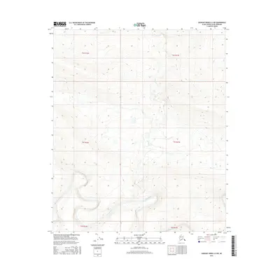
2016 · Lookout Ridge A-2 NW
USGS Topo · 1:25,000
2016 · Lookout Ridge B-2 NW
USGS Topo · 1:25,000